Area Overview for CO4 0JH
Photos of CO4 0JH
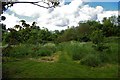
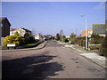
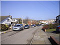
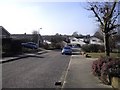
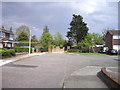
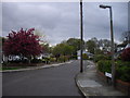
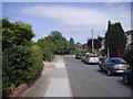
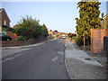
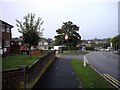
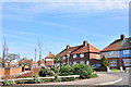
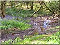
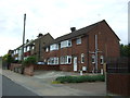
38 photos from this area
Area Information
Key information about the CO4 0JH including its size, population, and administrative classification.
- Area Type
- Postcode
- Area Size
- 1.1 hectares
- Population
- 1439
- Population Density
- 1157 people/km²
House Prices in CO4 0JH
24
Properties
£262,200
Average Sold Price
£92,000
Lowest Price
£387,500
Highest Price
Showing 24 properties
| Address | Type | Beds | Baths | Last Sale Price | Last Sale Date | |
|---|---|---|---|---|---|---|
| 122 St Johns Road, Colchester, CO4 0JH | Detached | 3 | 1 | £387,500 | Aug 2025 | |
| 112 St Johns Road, Colchester, CO4 0JH | Bungalow | 2 | 1 | £305,000 | Oct 2024 | |
| 108 St Johns Road, Colchester, CO4 0JH | Bungalow | 2 | 1 | £337,000 | Nov 2022 | |
| 124 St Johns Road, Colchester, CO4 0JH | Bungalow | - | - | £325,000 | Aug 2022 | |
| 139 St Johns Road, Colchester, CO4 0JH | Bungalow | - | - | £385,000 | Dec 2021 | |
| 145 St Johns Road, Colchester, CO4 0JH | house | - | - | £312,500 | Jun 2021 | |
| 104 St Johns Road, Colchester, CO4 0JH | Bungalow | 2 | 1 | £320,000 | Jun 2020 | |
| 151 St Johns Road, Colchester, CO4 0JH | house | 3 | - | £333,000 | Sep 2019 | |
| 116 St Johns Road, Colchester, CO4 0JH | Bungalow | 4 | - | £315,000 | Jan 2018 | |
| 120 St Johns Road, Colchester, CO4 0JH | Bungalow | 2 | - | £179,000 | Jul 2013 |
Page 1 of 3
Energy Efficiency in CO4 0JH
Amenities
Schools
| Rank | School | Type | Entry gender | Ages |
|---|
Explore more schools in this area
Go to Schools tabDemographics
Household Size
Two person
most common
Accommodation Type
Houses
most common
Tenure
83
majority
Ethnic Group
White
most common
Religion
N/A
most common
Household Composition
N/A
most common
Age
47
median
Adults (30-64 years)
most common
Household Deprivation
N/A
with no deprivation
NS-SEC
40
in Lower managerial occupations
Explore more demographic insights in this area
Go to Demographics tabPlanning
Planning Constraints
- Flood RiskPremium
- Ramsar Wetland SitesPremium
- Area of Outstanding Natural BeautyPremium
- Protected Nature ReservePremium
- Protected WoodlandPremium