Area Overview for CO4 0EL
Photos of CO4 0EL
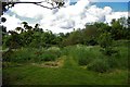
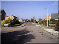
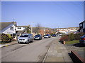
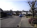
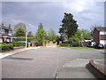
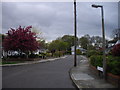
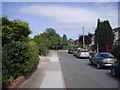
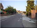
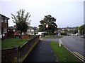
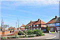
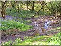
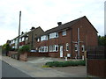
38 photos from this area
Area Information
Key information about the CO4 0EL including its size, population, and administrative classification.
- Area Type
- Postcode
- Area Size
- 7123 m²
- Population
- 1341
- Population Density
- 5154 people/km²
House Prices in CO4 0EL
14
Properties
£161,389
Average Sold Price
£99,000
Lowest Price
£255,000
Highest Price
Showing 14 properties
| Address | Type | Beds | Baths | Last Sale Price | Last Sale Date | |
|---|---|---|---|---|---|---|
| 167 Ipswich Road, Colchester, CO4 0EL | Semi-detached | 3 | 1 | £255,000 | Jun 2019 | |
| 185 Ipswich Road, Colchester, CO4 0EL | Semi-detached | 3 | 1 | £190,000 | Oct 2015 | |
| 179 Ipswich Road, Colchester, CO4 0EL | Detached | 3 | 1 | £205,000 | Feb 2011 | |
| 177 Ipswich Road, Colchester, CO4 0EL | Semi-detached | - | - | £177,500 | Aug 2008 | |
| 187 Ipswich Road, Colchester, CO4 0EL | house | 3 | - | £130,000 | Nov 2006 | |
| 189 Ipswich Road, Colchester, CO4 0EL | Semi-detached | - | - | £147,000 | Feb 2004 | |
| 175 Ipswich Road, Colchester, CO4 0EL | Terraced | - | - | £125,000 | Jan 2003 | |
| 171 Ipswich Road, Colchester, CO4 0EL | house | - | - | £124,000 | Jun 2002 | |
| 183 Ipswich Road, Colchester, CO4 0EL | Semi-detached | - | - | £99,000 | Jul 1998 | |
| 165 Ipswich Road, Colchester, CO4 0EL | Detached | 3 | 1 | - | - |
Page 1 of 2
Energy Efficiency in CO4 0EL
Amenities
Schools
| Rank | School | Type | Entry gender | Ages |
|---|
Explore more schools in this area
Go to Schools tabDemographics
Household Size
Two person
most common
Accommodation Type
Houses
most common
Tenure
71
majority
Ethnic Group
White
most common
Religion
N/A
most common
Household Composition
N/A
most common
Age
47
median
Adults (30-64 years)
most common
Household Deprivation
N/A
with no deprivation
NS-SEC
27
in Lower managerial occupations
Explore more demographic insights in this area
Go to Demographics tabPlanning
Planning Constraints
- Flood RiskPremium
- Ramsar Wetland SitesPremium
- Area of Outstanding Natural BeautyPremium
- Protected Nature ReservePremium
- Protected WoodlandPremium