Area Overview for CO4 0DB
Photos of CO4 0DB
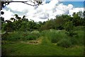
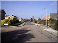
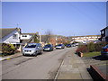
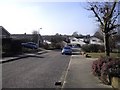
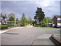
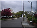
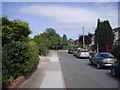
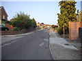
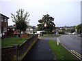
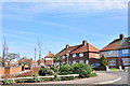
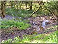
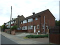
38 photos from this area
Area Information
Key information about the CO4 0DB including its size, population, and administrative classification.
- Area Type
- Postcode
- Area Size
- 1.7 hectares
- Population
- 1345
- Population Density
- 5562 people/km²
House Prices in CO4 0DB
45
Properties
£151,666
Average Sold Price
£37,000
Lowest Price
£261,000
Highest Price
Showing 45 properties
| Address | Type | Beds | Baths | Last Sale Price | Last Sale Date | |
|---|---|---|---|---|---|---|
| 121 Goring Road, Colchester, CO4 0DB | Semi-detached | 2 | 1 | £220,000 | Nov 2024 | |
| 97 Goring Road, Colchester, CO4 0DB | Terraced | 2 | 1 | £245,000 | Nov 2024 | |
| 154 Goring Road, Colchester, CO4 0DB | Terraced | 3 | 1 | £261,000 | Feb 2024 | |
| 95 Goring Road, Colchester, CO4 0DB | house | - | - | £252,000 | Apr 2022 | |
| 160 Goring Road, Colchester, CO4 0DB | Terraced | 3 | - | £215,000 | Mar 2021 | |
| 129 Goring Road, Colchester, CO4 0DB | house | - | - | £124,000 | Jul 2018 | |
| 142 Goring Road, Colchester, CO4 0DB | Terraced | 2 | 1 | £200,000 | Jan 2018 | |
| 113 Goring Road, Colchester, CO4 0DB | Terraced | 2 | 1 | £158,000 | Apr 2016 | |
| 124 Goring Road, Colchester, CO4 0DB | house | 2 | - | £118,000 | Jun 2011 | |
| 130 Goring Road, Colchester, CO4 0DB | house | - | - | £124,995 | Aug 2009 |
Page 1 of 5
Energy Efficiency in CO4 0DB
Amenities
Schools
| Rank | School | Type | Entry gender | Ages |
|---|
Explore more schools in this area
Go to Schools tabDemographics
Household Size
Family (3-5 people)
most common
Accommodation Type
Houses
most common
Tenure
38
majority
Ethnic Group
White
most common
Religion
N/A
most common
Household Composition
N/A
most common
Age
47
median
Adults (30-64 years)
most common
Household Deprivation
N/A
with no deprivation
NS-SEC
18
in Lower managerial occupations
Explore more demographic insights in this area
Go to Demographics tabPlanning
Planning Constraints
- Flood RiskPremium
- Ramsar Wetland SitesPremium
- Area of Outstanding Natural BeautyPremium
- Protected Nature ReservePremium
- Protected WoodlandPremium