Area Overview for CO4 0AW
Photos of CO4 0AW
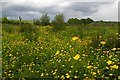
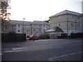
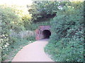
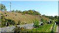
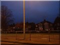
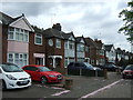
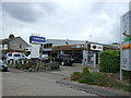
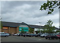
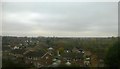
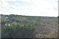
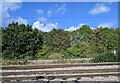
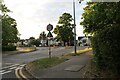
25 photos from this area
Area Information
Key information about the CO4 0AW including its size, population, and administrative classification.
- Area Type
- Postcode
- Area Size
- 3611 m²
- Population
- 1341
- Population Density
- 5154 people/km²
House Prices in CO4 0AW
12
Properties
£215,300
Average Sold Price
£87,000
Lowest Price
£325,000
Highest Price
Showing 12 properties
| Address | Type | Beds | Baths | Last Sale Price | Last Sale Date | |
|---|---|---|---|---|---|---|
| 8 Ripple Way, Colchester, CO4 0AW | Semi-detached | 3 | 1 | £325,000 | Sep 2023 | |
| 20 Ripple Way, Colchester, CO4 0AW | Retail | 3 | 1 | £295,000 | Jun 2022 | |
| 18 Ripple Way, Colchester, CO4 0AW | Semi-detached | 3 | 2 | £288,500 | Jun 2021 | |
| 22 Ripple Way, Colchester, CO4 0AW | Detached | 3 | 1 | £282,500 | May 2021 | |
| 10 Ripple Way, Colchester, CO4 0AW | Semi-detached | 3 | - | £209,000 | Nov 2015 | |
| 14 Ripple Way, Colchester, CO4 0AW | house | - | - | £150,000 | Sep 2009 | |
| 12 Ripple Way, Colchester, CO4 0AW | Semi-detached | 3 | 1 | £150,000 | Dec 2008 | |
| 24 Ripple Way, Colchester, CO4 0AW | Detached | - | - | £197,500 | Feb 2007 | |
| 2 Ripple Way, Colchester, CO4 0AW | Semi-detached | - | - | £168,500 | Apr 2006 | |
| 4 Ripple Way, Colchester, CO4 0AW | Semi-detached | - | - | £87,000 | Oct 2000 |
Page 1 of 2
Energy Efficiency in CO4 0AW
Amenities
Schools
| Rank | School | Type | Entry gender | Ages |
|---|
Explore more schools in this area
Go to Schools tabDemographics
Household Size
Two person
most common
Accommodation Type
Houses
most common
Tenure
71
majority
Ethnic Group
White
most common
Religion
N/A
most common
Household Composition
N/A
most common
Age
47
median
Adults (30-64 years)
most common
Household Deprivation
N/A
with no deprivation
NS-SEC
27
in Lower managerial occupations
Explore more demographic insights in this area
Go to Demographics tabPlanning
Planning Constraints
- Flood RiskPremium
- Ramsar Wetland SitesPremium
- Area of Outstanding Natural BeautyPremium
- Protected Nature ReservePremium
- Protected WoodlandPremium