Area Overview for CO4 0AU
Photos of CO4 0AU
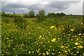
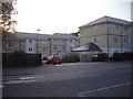
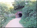
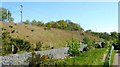
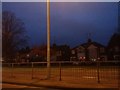
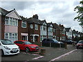
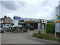
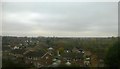
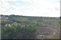
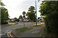
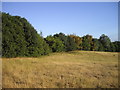
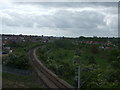
25 photos from this area
Area Information
Key information about the CO4 0AU including its size, population, and administrative classification.
- Area Type
- Postcode
- Area Size
- 2.7 hectares
- Population
- 1341
- Population Density
- 5154 people/km²
House Prices in CO4 0AU
23
Properties
£155,344
Average Sold Price
£53,000
Lowest Price
£274,000
Highest Price
Showing 23 properties
| Address | Type | Beds | Baths | Last Sale Price | Last Sale Date | |
|---|---|---|---|---|---|---|
| 11 Havering Close, Colchester, CO4 0AU | Maisonette | 2 | 1 | £205,000 | May 2024 | |
| 13 Havering Close, Colchester, CO4 0AU | Maisonette | 2 | 1 | £205,000 | May 2023 | |
| 18 Havering Close, Colchester, CO4 0AU | Semi-detached | 3 | 1 | £274,000 | Feb 2023 | |
| 13A Havering Close, Colchester, CO4 0AU | Maisonette | - | - | £175,000 | Sep 2021 | |
| 7A Havering Close, Colchester, CO4 0AU | Maisonette | - | - | £110,000 | Oct 2020 | |
| 7 Havering Close, Colchester, CO4 0AU | Maisonette | 2 | 1 | £155,000 | Mar 2019 | |
| 11A Havering Close, Colchester, CO4 0AU | Flat | 2 | - | £150,000 | May 2018 | |
| 3 Havering Close, Colchester, CO4 0AU | house | - | - | £250,000 | Mar 2017 | |
| 1 Havering Close, Colchester, CO4 0AU | Semi-detached | 3 | 1 | £230,000 | Nov 2016 | |
| 9 Havering Close, Colchester, CO4 0AU | Maisonette | 2 | - | £122,500 | Mar 2016 |
Page 1 of 3
Energy Efficiency in CO4 0AU
Amenities
Schools
| Rank | School | Type | Entry gender | Ages |
|---|
Explore more schools in this area
Go to Schools tabDemographics
Household Size
Two person
most common
Accommodation Type
Houses
most common
Tenure
71
majority
Ethnic Group
White
most common
Religion
N/A
most common
Household Composition
N/A
most common
Age
47
median
Adults (30-64 years)
most common
Household Deprivation
N/A
with no deprivation
NS-SEC
27
in Lower managerial occupations
Explore more demographic insights in this area
Go to Demographics tabPlanning
Planning Constraints
- Flood RiskPremium
- Ramsar Wetland SitesPremium
- Area of Outstanding Natural BeautyPremium
- Protected Nature ReservePremium
- Protected WoodlandPremium