Area Overview for CO3 9ES
Photos of CO3 9ES
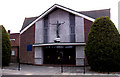
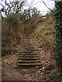
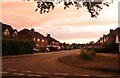
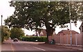
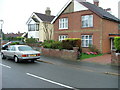
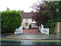
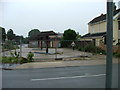
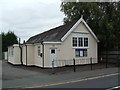
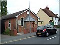
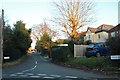
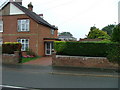
12 photos from this area
Area Information
Key information about the CO3 9ES including its size, population, and administrative classification.
- Area Type
- Postcode
- Area Size
- 1.3 hectares
- Population
- Not available
- Population Density
- Not available
House Prices in CO3 9ES
24
Properties
£326,955
Average Sold Price
£75,500
Lowest Price
£500,000
Highest Price
Showing 24 properties
| Address | Type | Beds | Baths | Last Sale Price | Last Sale Date | |
|---|---|---|---|---|---|---|
| 60 Oaklands Avenue, Colchester, CO3 9ES | Semi-detached | 4 | 3 | £468,000 | Sep 2025 | |
| 44 Oaklands Avenue, Colchester, CO3 9ES | Semi-detached | 3 | 1 | £375,000 | Oct 2023 | |
| 34 Oaklands Avenue, Colchester, CO3 9ES | Semi-detached | 3 | 1 | £325,000 | Mar 2023 | |
| 48 Oaklands Avenue, Colchester, CO3 9ES | house | - | - | £375,000 | Oct 2022 | |
| 29 Oaklands Avenue, Colchester, CO3 9ES | Bungalow | 2 | - | £500,000 | Feb 2022 | |
| 27 Oaklands Avenue, Colchester, CO3 9ES | Bungalow | 3 | 2 | £440,000 | May 2018 | |
| 41 Oaklands Avenue, Colchester, CO3 9ES | Bungalow | 2 | 1 | £270,000 | Feb 2017 | |
| 56 Oaklands Avenue, Colchester, CO3 9ES | Semi-detached | 3 | - | £318,000 | Dec 2016 | |
| 38 Oaklands Avenue, Colchester, CO3 9ES | house | - | - | £205,000 | Mar 2012 | |
| 62 Oaklands Avenue, Colchester, CO3 9ES | Semi-detached | - | - | £245,000 | Aug 2006 |
Page 1 of 3
Energy Efficiency in CO3 9ES
Amenities
Schools
| Rank | School | Type | Entry gender | Ages |
|---|
Explore more schools in this area
Go to Schools tabDemographics
Household Size
Two person
most common
Accommodation Type
Houses
most common
Tenure
83
majority
Ethnic Group
White
most common
Religion
N/A
most common
Household Composition
N/A
most common
Age
47
median
Adults (30-64 years)
most common
Household Deprivation
N/A
with no deprivation
NS-SEC
39
in Lower managerial occupations
Explore more demographic insights in this area
Go to Demographics tabPlanning
Planning Constraints
- Flood RiskPremium
- Ramsar Wetland SitesPremium
- Area of Outstanding Natural BeautyPremium
- Protected Nature ReservePremium
- Protected WoodlandPremium