Area Overview for CO3 3PS
Photos of CO3 3PS
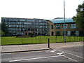
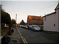
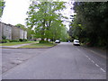
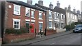
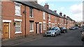
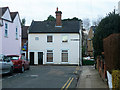
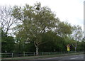
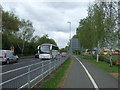
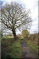
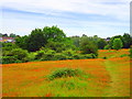
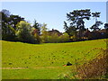
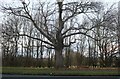
37 photos from this area
Area Information
Key information about the CO3 3PS including its size, population, and administrative classification.
- Area Type
- Postcode
- Area Size
- 1.7 hectares
- Population
- 2122
- Population Density
- 3850 people/km²
House Prices in CO3 3PS
23
Properties
£440,583
Average Sold Price
£113,000
Lowest Price
£740,000
Highest Price
Showing 23 properties
| Address | Type | Beds | Baths | Last Sale Price | Last Sale Date | |
|---|---|---|---|---|---|---|
| Tall Timbers, 30 Oaks Drive, Colchester, CO3 3PS | Chalet | 4 | 2 | £695,000 | Oct 2024 | |
| Larch Hill, 45 Oaks Drive, Colchester, CO3 3PS | Detached | 5 | 3 | £735,000 | Sep 2023 | |
| 51 Oaks Drive, Colchester, CO3 3PS | Detached | 4 | 2 | £505,000 | Aug 2021 | |
| 49 Oaks Drive, Colchester, CO3 3PS | house | 4 | - | £510,000 | Dec 2020 | |
| Harlyn Lodge, 32 Oaks Drive, Colchester, CO3 3PS | house | - | - | £637,500 | Nov 2019 | |
| Saltings, 37 Oaks Drive, Colchester, CO3 3PS | Detached | 7 | 4 | £740,000 | Nov 2019 | |
| 53 Oaks Drive, Colchester, CO3 3PS | Detached | 4 | 2 | £515,000 | Aug 2018 | |
| 26 Oaks Drive, Colchester, CO3 3PS | Detached | 4 | 2 | £665,000 | Aug 2017 | |
| 47 Oaks Drive, Colchester, CO3 3PS | house | - | - | £420,000 | Jun 2016 | |
| Willowdene, 39 Oaks Drive, Colchester, CO3 3PS | Detached | 4 | - | £475,000 | Nov 2014 |
Page 1 of 3
Energy Efficiency in CO3 3PS
Amenities
Schools
| Rank | School | Type | Entry gender | Ages |
|---|
Explore more schools in this area
Go to Schools tabDemographics
Household Size
One person
most common
Accommodation Type
Flats
most common
Tenure
47
majority
Ethnic Group
White
most common
Religion
N/A
most common
Household Composition
N/A
most common
Age
47
median
Adults (30-64 years)
most common
Household Deprivation
N/A
with no deprivation
NS-SEC
44
in Lower managerial occupations
Explore more demographic insights in this area
Go to Demographics tabPlanning
Planning Constraints
- Flood RiskPremium
- Ramsar Wetland SitesPremium
- Area of Outstanding Natural BeautyPremium
- Protected Nature ReservePremium
- Protected WoodlandPremium