Area Overview for CO2 9GH
Photos of CO2 9GH

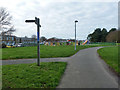
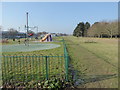
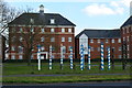
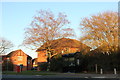
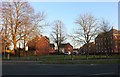
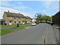
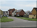
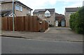
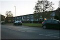
10 photos from this area
Area Information
Key information about the CO2 9GH including its size, population, and administrative classification.
- Area Type
- Postcode
- Area Size
- 8911 m²
- Population
- 1884
- Population Density
- 956 people/km²
House Prices in CO2 9GH
16
Properties
£148,835
Average Sold Price
£103,000
Lowest Price
£189,995
Highest Price
Showing 16 properties
| Address | Type | Beds | Baths | Last Sale Price | Last Sale Date | |
|---|---|---|---|---|---|---|
| 13, Mansion House, Salamanca Way, Colchester, CO2 9GH | Flat | 2 | 2 | £103,000 | Oct 2025 | |
| 6, Mansion House, Salamanca Way, Colchester, CO2 9GH | Flat | 2 | 1 | £150,000 | Aug 2024 | |
| 11, Mansion House, Salamanca Way, Colchester, CO2 9GH | Flat | 1 | 1 | £189,995 | Dec 2023 | |
| 8, Mansion House, Salamanca Way, Colchester, CO2 9GH | Flat | - | - | £150,000 | Oct 2023 | |
| 10, Mansion House, Salamanca Way, Colchester, CO2 9GH | Flat | 2 | 2 | £169,000 | May 2022 | |
| 16, Mansion House, Salamanca Way, Colchester, CO2 9GH | Flat | - | - | £156,500 | Feb 2021 | |
| 5, Mansion House, Salamanca Way, Colchester, CO2 9GH | Flat | - | - | £150,000 | Jul 2020 | |
| 12, Mansion House, Salamanca Way, Colchester, CO2 9GH | Flat | - | - | £153,500 | Mar 2020 | |
| 9, Mansion House, Salamanca Way, Colchester, CO2 9GH | Flat | - | - | £155,000 | Sep 2019 | |
| 4, Mansion House, Salamanca Way, Colchester, CO2 9GH | Flat | - | - | £146,000 | Aug 2019 |
Page 1 of 2
Energy Efficiency in CO2 9GH
Amenities
Schools
| Rank | School | Type | Entry gender | Ages |
|---|
Explore more schools in this area
Go to Schools tabDemographics
Household Size
Family (3-5 people)
most common
Accommodation Type
Houses
most common
Tenure
54
majority
Ethnic Group
White
most common
Religion
N/A
most common
Household Composition
N/A
most common
Age
47
median
Adults (30-64 years)
most common
Household Deprivation
N/A
with no deprivation
NS-SEC
31
in Lower managerial occupations
Explore more demographic insights in this area
Go to Demographics tabPlanning
Planning Constraints
- Flood RiskPremium
- Ramsar Wetland SitesPremium
- Area of Outstanding Natural BeautyPremium
- Protected Nature ReservePremium
- Protected WoodlandPremium