Area Overview for CO2 8EW
Photos of CO2 8EW
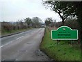
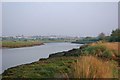
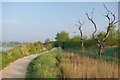
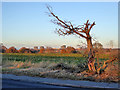
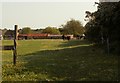
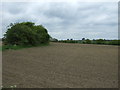
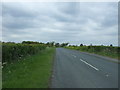
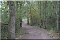
11 photos from this area
Area Information
Key information about the CO2 8EW including its size, population, and administrative classification.
- Area Type
- Postcode
- Area Size
- 25.3 hectares
- Population
- 1542
- Population Density
- 522 people/km²
House Prices in CO2 8EW
25
Properties
£248,464
Average Sold Price
£65,000
Lowest Price
£450,000
Highest Price
Showing 25 properties
| Address | Type | Beds | Baths | Last Sale Price | Last Sale Date | |
|---|---|---|---|---|---|---|
| Pippins, 2 Rowhedge Road, Colchester, CO2 8EW | Bungalow | 3 | 2 | £330,000 | Apr 2023 | |
| Valley View Lodge, 7A Rowhedge Road, Colchester, CO2 8EW | Bungalow | 5 | - | £250,000 | Dec 2022 | |
| 9 Rowhedge Road, Colchester, CO2 8EW | house | - | - | £350,000 | May 2022 | |
| 8 Rowhedge Road, Colchester, CO2 8EW | Terraced | 2 | 2 | £260,000 | Aug 2019 | |
| 29 Rowhedge Road, Colchester, CO2 8EW | Semi-detached | 4 | - | £450,000 | Jun 2018 | |
| Eden, 19 Rowhedge Road, Colchester, CO2 8EW | Detached | 4 | 3 | £390,000 | Feb 2018 | |
| 11A Rowhedge Road, Colchester, CO2 8EW | Bungalow | 3 | 1 | £324,000 | Dec 2016 | |
| 2B Rowhedge Road, Colchester, CO2 8EW | Bungalow | - | - | £262,500 | Nov 2014 | |
| 12 Rowhedge Road, Colchester, CO2 8EW | Semi-detached | 4 | - | £250,000 | Jul 2014 | |
| 27 Rowhedge Road, Colchester, CO2 8EW | house | - | - | £180,000 | Feb 2012 |
Page 1 of 3
Energy Efficiency in CO2 8EW
Amenities
Schools
| Rank | School | Type | Entry gender | Ages |
|---|
Explore more schools in this area
Go to Schools tabDemographics
Household Size
Family (3-5 people)
most common
Accommodation Type
Houses
most common
Tenure
55
majority
Ethnic Group
White
most common
Religion
N/A
most common
Household Composition
N/A
most common
Age
47
median
Adults (30-64 years)
most common
Household Deprivation
N/A
with no deprivation
NS-SEC
24
in Lower managerial occupations
Explore more demographic insights in this area
Go to Demographics tabPlanning
Planning Constraints
- Flood RiskPremium
- Ramsar Wetland SitesPremium
- Area of Outstanding Natural BeautyPremium
- Protected Nature ReservePremium
- Protected WoodlandPremium