Area Overview for CO2 8BU
Photos of CO2 8BU
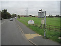
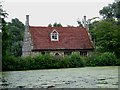
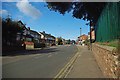
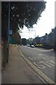
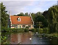
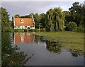

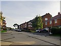
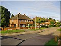

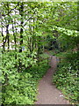
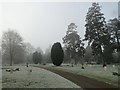
50 photos from this area
Area Information
Key information about the CO2 8BU including its size, population, and administrative classification.
- Area Type
- Postcode
- Area Size
- 7414 m²
- Population
- 1417
- Population Density
- 3725 people/km²
House Prices in CO2 8BU
38
Properties
£144,076
Average Sold Price
£39,000
Lowest Price
£285,250
Highest Price
Showing 38 properties
| Address | Type | Beds | Baths | Last Sale Price | Last Sale Date | |
|---|---|---|---|---|---|---|
| 6 Clearwater, Colchester, CO2 8BU | Terraced | 2 | 1 | £260,000 | Mar 2025 | |
| 25 Clearwater, Colchester, CO2 8BU | Maisonette | - | - | £160,000 | Sep 2024 | |
| 4 Clearwater, Colchester, CO2 8BU | Terraced | 2 | 1 | £245,000 | Jul 2024 | |
| 20 Clearwater, Colchester, CO2 8BU | Terraced | 2 | 1 | £275,000 | Sep 2022 | |
| 10 Clearwater, Colchester, CO2 8BU | house | - | - | £285,250 | Sep 2021 | |
| 41 Clearwater, Colchester, CO2 8BU | house | - | - | £238,000 | Aug 2021 | |
| 28 Clearwater, Colchester, CO2 8BU | house | 2 | - | £216,000 | Jul 2021 | |
| 24 Clearwater, Colchester, CO2 8BU | Terraced | 2 | 1 | £195,000 | May 2021 | |
| 18 Clearwater, Colchester, CO2 8BU | house | - | - | £193,500 | Mar 2021 | |
| 1 Clearwater, Colchester, CO2 8BU | Maisonette | 1 | 1 | £118,000 | Sep 2019 |
Page 1 of 4
Energy Efficiency in CO2 8BU
Amenities
Schools
| Rank | School | Type | Entry gender | Ages |
|---|
Explore more schools in this area
Go to Schools tabDemographics
Household Size
One person
most common
Accommodation Type
Houses
most common
Tenure
43
majority
Ethnic Group
White
most common
Religion
N/A
most common
Household Composition
N/A
most common
Age
47
median
Adults (30-64 years)
most common
Household Deprivation
N/A
with no deprivation
NS-SEC
22
in Lower managerial occupations
Explore more demographic insights in this area
Go to Demographics tabPlanning
Planning Constraints
- Flood RiskPremium
- Ramsar Wetland SitesPremium
- Area of Outstanding Natural BeautyPremium
- Protected Nature ReservePremium
- Protected WoodlandPremium