Area Overview for CO2 7RJ
Photos of CO2 7RJ
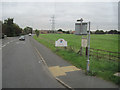
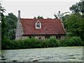
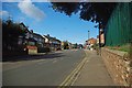
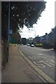
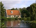
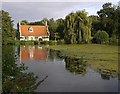
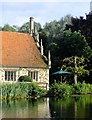
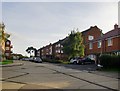
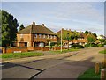
50 photos from this area
Area Information
Key information about the CO2 7RJ including its size, population, and administrative classification.
- Area Type
- Postcode
- Area Size
- 5483 m²
- Population
- 2194
- Population Density
- 5168 people/km²
House Prices in CO2 7RJ
25
Properties
£165,097
Average Sold Price
£39,000
Lowest Price
£304,000
Highest Price
Showing 25 properties
| Address | Type | Beds | Baths | Last Sale Price | Last Sale Date | |
|---|---|---|---|---|---|---|
| 19 Bourne Court, Colchester, CO2 7RJ | Terraced | 3 | 1 | £242,500 | Nov 2024 | |
| 7 Bourne Court, Colchester, CO2 7RJ | house | 1 | 5 | £304,000 | Apr 2023 | |
| 5 Bourne Court, Colchester, CO2 7RJ | house | 4 | 1 | £304,000 | Feb 2023 | |
| 11 Bourne Court, Colchester, CO2 7RJ | Terraced | 4 | 4 | £297,500 | Jul 2022 | |
| 12 Bourne Court, Colchester, CO2 7RJ | Terraced | 6 | 3 | £248,500 | Oct 2021 | |
| 22 Bourne Court, Colchester, CO2 7RJ | house | - | - | £182,500 | Dec 2020 | |
| 3 Bourne Court, Colchester, CO2 7RJ | Semi-detached | 1 | 2 | £220,000 | Sep 2018 | |
| 18 Bourne Court, Colchester, CO2 7RJ | Terraced | 3 | 1 | £171,000 | Oct 2015 | |
| 4 Bourne Court, Colchester, CO2 7RJ | Terraced | 3 | 2 | £162,000 | Dec 2014 | |
| 17 Bourne Court, Colchester, CO2 7RJ | house | 2 | - | £150,000 | Jun 2014 |
Page 1 of 3
Energy Efficiency in CO2 7RJ
Amenities
Schools
| Rank | School | Type | Entry gender | Ages |
|---|
Explore more schools in this area
Go to Schools tabDemographics
Household Size
Family (3-5 people)
most common
Accommodation Type
Houses
most common
Tenure
53
majority
Ethnic Group
White
most common
Religion
N/A
most common
Household Composition
N/A
most common
Age
47
median
Adults (30-64 years)
most common
Household Deprivation
N/A
with no deprivation
NS-SEC
26
in Lower managerial occupations
Explore more demographic insights in this area
Go to Demographics tabPlanning
Planning Constraints
- Flood RiskPremium
- Ramsar Wetland SitesPremium
- Area of Outstanding Natural BeautyPremium
- Protected Nature ReservePremium
- Protected WoodlandPremium