Area Overview for CO2 0LR
Photos of CO2 0LR
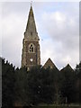
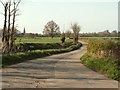
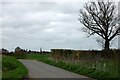
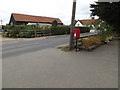
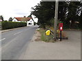
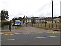
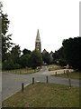
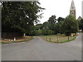
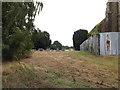
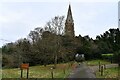
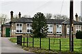
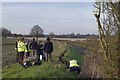
29 photos from this area
Area Information
Key information about the CO2 0LR including its size, population, and administrative classification.
- Area Type
- Postcode
- Area Size
- 2.7 hectares
- Population
- 1737
- Population Density
- 48 people/km²
House Prices in CO2 0LR
29
Properties
£208,281
Average Sold Price
£58,500
Lowest Price
£390,000
Highest Price
Showing 29 properties
| Address | Type | Beds | Baths | Last Sale Price | Last Sale Date | |
|---|---|---|---|---|---|---|
| 16 Luard Way, Birch, CO2 0LR | Terraced | 2 | 1 | £295,000 | Feb 2025 | |
| 36 Luard Way, Birch, CO2 0LR | Terraced | 2 | 1 | £295,000 | Oct 2024 | |
| 38 Luard Way, Birch, CO2 0LR | Terraced | 2 | 1 | £270,000 | Jun 2024 | |
| 11 Luard Way, Birch, CO2 0LR | Terraced | 3 | 1 | £390,000 | Sep 2023 | |
| 40 Luard Way, Birch, CO2 0LR | house | - | - | £325,000 | Sep 2021 | |
| 26 Luard Way, Birch, CO2 0LR | Terraced | 2 | 1 | £194,000 | Jul 2020 | |
| 2 Luard Way, Birch, CO2 0LR | Terraced | 3 | 1 | £242,000 | Jan 2019 | |
| 28 Luard Way, Birch, CO2 0LR | Terraced | 3 | 1 | £200,000 | May 2018 | |
| 30 Luard Way, Birch, CO2 0LR | Terraced | 2 | - | £212,000 | Jun 2017 | |
| 24 Luard Way, Birch, CO2 0LR | house | - | - | £160,000 | Nov 2012 |
Page 1 of 3
Energy Efficiency in CO2 0LR
Amenities
Schools
| Rank | School | Type | Entry gender | Ages |
|---|
Explore more schools in this area
Go to Schools tabDemographics
Household Size
Two person
most common
Accommodation Type
Houses
most common
Tenure
74
majority
Ethnic Group
White
most common
Religion
N/A
most common
Household Composition
N/A
most common
Age
47
median
Adults (30-64 years)
most common
Household Deprivation
N/A
with no deprivation
NS-SEC
37
in Lower managerial occupations
Explore more demographic insights in this area
Go to Demographics tabPlanning
Planning Constraints
- Flood RiskPremium
- Ramsar Wetland SitesPremium
- Area of Outstanding Natural BeautyPremium
- Protected Nature ReservePremium
- Protected WoodlandPremium