Area Overview for CO2 0EX
Photos of CO2 0EX
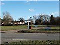
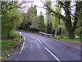
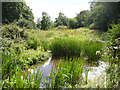
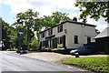
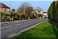
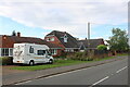
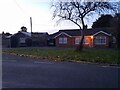
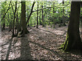
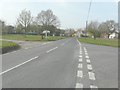
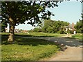
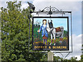
13 photos from this area
Area Information
Key information about the CO2 0EX including its size, population, and administrative classification.
- Area Type
- Postcode
- Area Size
- 5.1 hectares
- Population
- 1468
- Population Density
- 907 people/km²
House Prices in CO2 0EX
26
Properties
£521,650
Average Sold Price
£191,500
Lowest Price
£845,000
Highest Price
Showing 26 properties
| Address | Type | Beds | Baths | Last Sale Price | Last Sale Date | |
|---|---|---|---|---|---|---|
| 19 Les Bois, Layer De La Haye, CO2 0EX | house | - | - | £845,000 | Nov 2021 | |
| 21 Les Bois, Layer De La Haye, CO2 0EX | house | 5 | - | £840,000 | Dec 2018 | |
| Nether Balfour House, 26 Les Bois, Layer De La Haye, CO2 0EX | house | - | - | £625,000 | Dec 2014 | |
| 13 Les Bois, Layer De La Haye, CO2 0EX | Detached | 5 | 3 | £625,000 | May 2014 | |
| 16 Les Bois, Layer De La Haye, CO2 0EX | Detached | - | - | £525,000 | Apr 2006 | |
| 18 Les Bois, Layer De La Haye, CO2 0EX | Detached | - | - | £480,000 | Mar 2006 | |
| 14 Les Bois, Layer De La Haye, CO2 0EX | Detached | - | - | £395,000 | Mar 2004 | |
| 25 Les Bois, Layer De La Haye, CO2 0EX | Detached | - | - | £350,000 | Oct 2002 | |
| 24 Les Bois, Layer De La Haye, CO2 0EX | house | - | - | £340,000 | Mar 2001 | |
| 10 Les Bois, Layer De La Haye, CO2 0EX | Detached | - | - | £191,500 | Sep 1996 |
Page 1 of 3
Energy Efficiency in CO2 0EX
Amenities
Schools
| Rank | School | Type | Entry gender | Ages |
|---|
Explore more schools in this area
Go to Schools tabDemographics
Household Size
Two person
most common
Accommodation Type
Houses
most common
Tenure
90
majority
Ethnic Group
White
most common
Religion
N/A
most common
Household Composition
N/A
most common
Age
47
median
Adults (30-64 years)
most common
Household Deprivation
N/A
with no deprivation
NS-SEC
43
in Lower managerial occupations
Explore more demographic insights in this area
Go to Demographics tabPlanning
Planning Constraints
- Flood RiskPremium
- Ramsar Wetland SitesPremium
- Area of Outstanding Natural BeautyPremium
- Protected Nature ReservePremium
- Protected WoodlandPremium