Area Overview for CO16 9LS
Photos of CO16 9LS
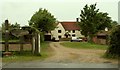
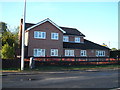
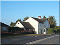

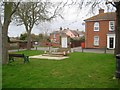
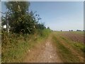
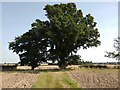
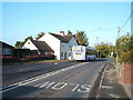
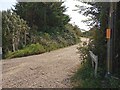
9 photos from this area
Area Information
Key information about the CO16 9LS including its size, population, and administrative classification.
- Area Type
- Postcode
- Area Size
- 7.4 hectares
- Population
- 1706
- Population Density
- 216 people/km²
House Prices in CO16 9LS
23
Properties
£288,433
Average Sold Price
£60,000
Lowest Price
£585,000
Highest Price
Showing 23 properties
| Address | Type | Beds | Baths | Last Sale Price | Last Sale Date | |
|---|---|---|---|---|---|---|
| 148 The Street, Little Clacton, CO16 9LS | Bungalow | - | - | £285,000 | Jun 2024 | |
| 140 The Street, Little Clacton, CO16 9LS | Detached | 5 | - | £585,000 | Apr 2021 | |
| 126 The Street, Little Clacton, CO16 9LS | Bungalow | 3 | - | £507,500 | Dec 2020 | |
| 124 The Street, Little Clacton, CO16 9LS | Detached | 3 | 1 | £362,000 | May 2019 | |
| 128 The Street, Little Clacton, CO16 9LS | Bungalow | 3 | 1 | £360,000 | Nov 2018 | |
| 130 The Street, Little Clacton, CO16 9LS | Detached | 5 | 4 | £460,000 | May 2016 | |
| 150 The Street, Little Clacton, CO16 9LS | Bungalow | 3 | 1 | £245,000 | Feb 2015 | |
| 160 The Street, Little Clacton, CO16 9LS | Bungalow | 3 | 1 | £285,000 | Apr 2014 | |
| 152 The Street, Little Clacton, CO16 9LS | Bungalow | 3 | - | £215,000 | Jun 2013 | |
| 136 The Street, Little Clacton, CO16 9LS | Detached | 4 | 2 | £299,995 | Sep 2010 |
Page 1 of 3
Energy Efficiency in CO16 9LS
Amenities
Schools
| Rank | School | Type | Entry gender | Ages |
|---|
Explore more schools in this area
Go to Schools tabDemographics
Household Size
Two person
most common
Accommodation Type
Houses
most common
Tenure
90
majority
Ethnic Group
White
most common
Religion
N/A
most common
Household Composition
N/A
most common
Age
47
median
Adults (30-64 years)
most common
Household Deprivation
N/A
with no deprivation
NS-SEC
27
in Lower managerial occupations
Explore more demographic insights in this area
Go to Demographics tabPlanning
Planning Constraints
- Flood RiskPremium
- Ramsar Wetland SitesPremium
- Area of Outstanding Natural BeautyPremium
- Protected Nature ReservePremium
- Protected WoodlandPremium