Area Overview for CO16 9BP
Photos of CO16 9BP
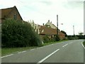
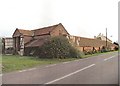
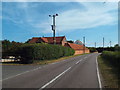
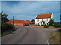
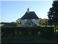
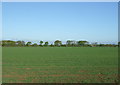
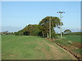
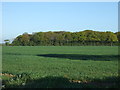
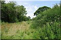

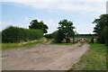
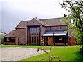
13 photos from this area
Area Information
Key information about the CO16 9BP including its size, population, and administrative classification.
- Area Type
- Postcode
- Area Size
- 63.4 hectares
- Population
- 1450
- Population Density
- 85 people/km²
House Prices in CO16 9BP
9
Properties
£289,999
Average Sold Price
£210,000
Lowest Price
£480,000
Highest Price
Showing 9 properties
| Address | Type | Beds | Baths | Last Sale Price | Last Sale Date | |
|---|---|---|---|---|---|---|
| Nazeing, Heath Road, St Osyth, CO16 9BP | Bungalow | 2 | - | £210,000 | Aug 2014 | |
| New House Farm, Heath Road, St Osyth, CO16 9BP | house | - | - | £249,995 | Jul 2006 | |
| Long Acre, Heath Road, St Osyth, CO16 9BP | Detached | - | - | £220,000 | Mar 2002 | |
| Chisbon House, Heath Road, St Osyth, CO16 9BP | Bungalow | 3 | 1 | £480,000 | Jul 2000 | |
| Heath Villa, Heath Road, St Osyth, CO16 9BP | Bungalow | 3 | 1 | - | - | |
| Kimbolds, Heath Road, St Osyth, CO16 9BP | Detached | - | - | - | - | |
| Linshire, Heath Road, St Osyth, CO16 9BP | Detached | - | - | - | - | |
| Campsite Adjacent, Kimbolds, Heath Road, St Osyth, CO16 9BP | commercial | - | - | - | - | |
| Turbine Number 4, Earls Hall Wind Farm, Earls Hall Drive, Clacton On Sea, CO16 9BP | Industrial | - | - | - | - |
Energy Efficiency in CO16 9BP
Amenities
Schools
| Rank | School | Type | Entry gender | Ages |
|---|
Explore more schools in this area
Go to Schools tabDemographics
Household Size
Two person
most common
Accommodation Type
Houses
most common
Tenure
81
majority
Ethnic Group
White
most common
Religion
N/A
most common
Household Composition
N/A
most common
Age
47
median
Adults (30-64 years)
most common
Household Deprivation
N/A
with no deprivation
NS-SEC
27
in Lower managerial occupations
Explore more demographic insights in this area
Go to Demographics tabPlanning
Planning Constraints
- Flood RiskPremium
- Ramsar Wetland SitesPremium
- Area of Outstanding Natural BeautyPremium
- Protected Nature ReservePremium
- Protected WoodlandPremium