Area Overview for CO16 9AA
Photos of CO16 9AA
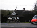
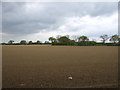
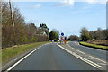
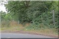
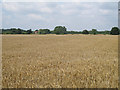
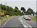
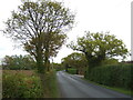
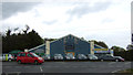
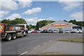
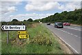

12 photos from this area
Area Information
Key information about the CO16 9AA including its size, population, and administrative classification.
- Area Type
- Postcode
- Area Size
- 89.8 hectares
- Population
- 1701
- Population Density
- 63 people/km²
House Prices in CO16 9AA
10
Properties
£341,667
Average Sold Price
£280,000
Lowest Price
£390,000
Highest Price
Showing 10 properties
| Address | Type | Beds | Baths | Last Sale Price | Last Sale Date | |
|---|---|---|---|---|---|---|
| Greenacres, Colchester Road, Tendring, CO16 9AA | Bungalow | 2 | - | £390,000 | Jan 2022 | |
| Wishing Well, Colchester Road, Tendring, CO16 9AA | Bungalow | - | - | £355,000 | Sep 2017 | |
| Woodlands, Colchester Road, Tendring, CO16 9AA | Detached | - | - | £280,000 | May 2012 | |
| Offices At, Shairwood, Colchester Road, Tendring, CO16 9AA | Industrial | - | - | - | - | |
| D C Transport, Warehouse And Premises, Shairwood, Colchester Road, Tendring, CO16 9AA | Flat | - | - | - | - | |
| The Willows, Colchester Road, Tendring, CO16 9AA | Bungalow | 1 | - | - | - | |
| Wheels Essex, Colchester Road, Tendring, CO16 9AA | Detached | - | - | - | - | |
| 3, The Bungalow, Colchester Road, Tendring, CO16 9AA | Detached | 4 | 2 | - | - | |
| Linnebank, Colchester Road, Tendring, CO16 9AA | house | - | - | - | - | |
| 2, The Bungalow, Colchester Road, Tendring, CO16 9AA | Bungalow | - | - | - | - |
Energy Efficiency in CO16 9AA
Amenities
Schools
| Rank | School | Type | Entry gender | Ages |
|---|
Explore more schools in this area
Go to Schools tabDemographics
Household Size
Two person
most common
Accommodation Type
Houses
most common
Tenure
81
majority
Ethnic Group
White
most common
Religion
N/A
most common
Household Composition
N/A
most common
Age
47
median
Adults (30-64 years)
most common
Household Deprivation
N/A
with no deprivation
NS-SEC
37
in Lower managerial occupations
Explore more demographic insights in this area
Go to Demographics tabPlanning
Planning Constraints
- Flood RiskPremium
- Ramsar Wetland SitesPremium
- Area of Outstanding Natural BeautyPremium
- Protected Nature ReservePremium
- Protected WoodlandPremium