Area Overview for CO16 8RE
Photos of CO16 8RE

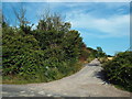
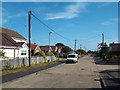
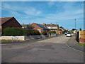
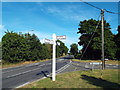
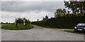
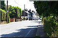
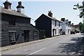
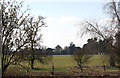
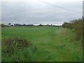
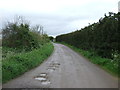
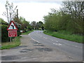
17 photos from this area
Area Information
Key information about the CO16 8RE including its size, population, and administrative classification.
- Area Type
- Postcode
- Area Size
- 6388 m²
- Population
- 1450
- Population Density
- 85 people/km²
House Prices in CO16 8RE
19
Properties
£186,499
Average Sold Price
£59,995
Lowest Price
£300,000
Highest Price
Showing 19 properties
| Address | Type | Beds | Baths | Last Sale Price | Last Sale Date | |
|---|---|---|---|---|---|---|
| 26 Broadstrood, St Osyth, CO16 8RE | Semi-detached | 3 | 1 | £277,000 | Sep 2024 | |
| Corner Lodge, Broadstrood, St Osyth, CO16 8RE | Bungalow | - | - | £300,000 | Jun 2023 | |
| 29 Broadstrood, St Osyth, CO16 8RE | Semi-detached | 2 | 1 | £258,000 | Apr 2023 | |
| 22 Broadstrood, St Osyth, CO16 8RE | house | - | - | £265,000 | Jun 2022 | |
| 34 Broadstrood, St Osyth, CO16 8RE | Bungalow | - | - | £249,995 | Feb 2022 | |
| 30 Broadstrood, St Osyth, CO16 8RE | house | - | - | £205,000 | Aug 2021 | |
| 28 Broadstrood, St Osyth, CO16 8RE | house | - | - | £170,000 | Jan 2019 | |
| 20 Broadstrood, St Osyth, CO16 8RE | Semi-detached | 3 | 1 | £214,000 | Oct 2018 | |
| 39 Broadstrood, St Osyth, CO16 8RE | Bungalow | 2 | 1 | £175,000 | Feb 2018 | |
| 24 Broadstrood, St Osyth, CO16 8RE | Semi-detached | 3 | 1 | £159,995 | Apr 2014 |
Page 1 of 2
Energy Efficiency in CO16 8RE
Amenities
Schools
| Rank | School | Type | Entry gender | Ages |
|---|
Explore more schools in this area
Go to Schools tabDemographics
Household Size
Two person
most common
Accommodation Type
Houses
most common
Tenure
81
majority
Ethnic Group
White
most common
Religion
N/A
most common
Household Composition
N/A
most common
Age
47
median
Adults (30-64 years)
most common
Household Deprivation
N/A
with no deprivation
NS-SEC
27
in Lower managerial occupations
Explore more demographic insights in this area
Go to Demographics tabPlanning
Planning Constraints
- Flood RiskPremium
- Ramsar Wetland SitesPremium
- Area of Outstanding Natural BeautyPremium
- Protected Nature ReservePremium
- Protected WoodlandPremium