Area Overview for CO16 8QH
Photos of CO16 8QH
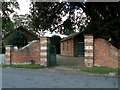
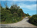
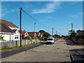
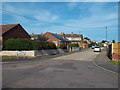
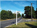
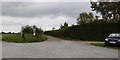
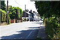
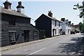
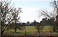
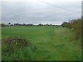
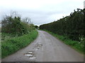
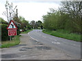
17 photos from this area
Area Information
Key information about the CO16 8QH including its size, population, and administrative classification.
- Area Type
- Postcode
- Area Size
- 3868 m²
- Population
- 1450
- Population Density
- 85 people/km²
House Prices in CO16 8QH
13
Properties
£173,000
Average Sold Price
£125,000
Lowest Price
£279,000
Highest Price
Showing 13 properties
| Address | Type | Beds | Baths | Last Sale Price | Last Sale Date | |
|---|---|---|---|---|---|---|
| 37 St Clairs Road, St Osyth, CO16 8QH | Flat | 1 | 1 | £126,000 | Aug 2025 | |
| 39 St Clairs Road, St Osyth, CO16 8QH | Flat | - | - | £125,000 | Oct 2021 | |
| 59 St Clairs Road, St Osyth, CO16 8QH | Bungalow | - | - | £185,000 | May 2019 | |
| 57 St Clairs Road, St Osyth, CO16 8QH | Bungalow | 2 | 1 | £279,000 | Jan 2019 | |
| 32 St Clairs Road, St Osyth, CO16 8QH | Bungalow | 3 | - | £150,000 | Jan 2013 | |
| 47 St Clairs Road, St Osyth, CO16 8QH | Flat | - | - | - | - | |
| 51 St Clairs Road, St Osyth, CO16 8QH | Flat | - | - | - | - | |
| 55 St Clairs Road, St Osyth, CO16 8QH | Detached | - | - | - | - | |
| 45 St Clairs Road, St Osyth, CO16 8QH | Flat | - | - | - | - | |
| 41 St Clairs Road, St Osyth, CO16 8QH | Flat | - | - | - | - |
Page 1 of 2
Energy Efficiency in CO16 8QH
Amenities
Schools
| Rank | School | Type | Entry gender | Ages |
|---|
Explore more schools in this area
Go to Schools tabDemographics
Household Size
Two person
most common
Accommodation Type
Houses
most common
Tenure
81
majority
Ethnic Group
White
most common
Religion
N/A
most common
Household Composition
N/A
most common
Age
47
median
Adults (30-64 years)
most common
Household Deprivation
N/A
with no deprivation
NS-SEC
27
in Lower managerial occupations
Explore more demographic insights in this area
Go to Demographics tabPlanning
Planning Constraints
- Flood RiskPremium
- Ramsar Wetland SitesPremium
- Area of Outstanding Natural BeautyPremium
- Protected Nature ReservePremium
- Protected WoodlandPremium