Area Overview for CO16 8DX
Photos of CO16 8DX
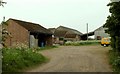
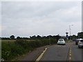
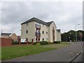
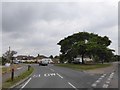
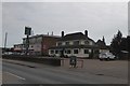
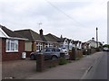

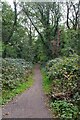
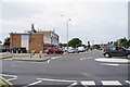

14 photos from this area
Area Information
Key information about the CO16 8DX including its size, population, and administrative classification.
- Area Type
- Postcode
- Area Size
- 1.9 hectares
- Population
- 2798
- Population Density
- 1107 people/km²
House Prices in CO16 8DX
17
Properties
£161,615
Average Sold Price
£39,000
Lowest Price
£243,000
Highest Price
Showing 17 properties
| Address | Type | Beds | Baths | Last Sale Price | Last Sale Date | |
|---|---|---|---|---|---|---|
| 394 St Johns Road, Clacton On Sea, CO16 8DX | Bungalow | 2 | 1 | £243,000 | Sep 2018 | |
| 447 St Johns Road, Clacton On Sea, CO16 8DX | Semi-detached | 3 | 1 | £185,000 | Apr 2018 | |
| 453 St Johns Road, Clacton On Sea, CO16 8DX | house | - | - | £190,000 | Oct 2017 | |
| 451 St Johns Road, Clacton On Sea, CO16 8DX | Semi-detached | 3 | 1 | £175,000 | Aug 2016 | |
| 398 St Johns Road, Clacton On Sea, CO16 8DX | Bungalow | - | - | £125,000 | Aug 2014 | |
| 388 St Johns Road, Clacton On Sea, CO16 8DX | Bungalow | - | - | £230,000 | Jul 2014 | |
| 396 St Johns Road, Clacton On Sea, CO16 8DX | house | - | - | £210,000 | Aug 2010 | |
| 463 St Johns Road, Clacton On Sea, CO16 8DX | house | 5 | - | £170,000 | Jun 2010 | |
| 459 St Johns Road, Clacton On Sea, CO16 8DX | Semi-detached | 3 | 1 | £130,000 | Dec 2006 | |
| 392 St Johns Road, Clacton On Sea, CO16 8DX | Detached | - | - | £198,000 | Aug 2006 |
Page 1 of 2
Energy Efficiency in CO16 8DX
Amenities
Schools
| Rank | School | Type | Entry gender | Ages |
|---|
Explore more schools in this area
Go to Schools tabDemographics
Household Size
Two person
most common
Accommodation Type
Houses
most common
Tenure
73
majority
Ethnic Group
White
most common
Religion
N/A
most common
Household Composition
N/A
most common
Age
47
median
Adults (30-64 years)
most common
Household Deprivation
N/A
with no deprivation
NS-SEC
20
in Lower managerial occupations
Explore more demographic insights in this area
Go to Demographics tabPlanning
Planning Constraints
- Flood RiskPremium
- Ramsar Wetland SitesPremium
- Area of Outstanding Natural BeautyPremium
- Protected Nature ReservePremium
- Protected WoodlandPremium