Area Overview for CO15 4HU
Photos of CO15 4HU
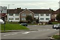
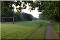
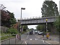

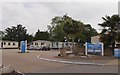
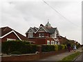
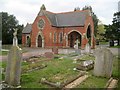
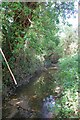
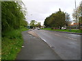
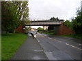
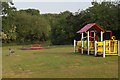
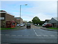
13 photos from this area
Area Information
Key information about the CO15 4HU including its size, population, and administrative classification.
- Area Type
- Postcode
- Area Size
- 1.3 hectares
- Population
- 1512
- Population Density
- 2860 people/km²
House Prices in CO15 4HU
33
Properties
£158,711
Average Sold Price
£32,000
Lowest Price
£350,000
Highest Price
Showing 33 properties
| Address | Type | Beds | Baths | Last Sale Price | Last Sale Date | |
|---|---|---|---|---|---|---|
| 31 Hillcrest, Clacton On Sea, CO15 4HU | Bungalow | 2 | 1 | £200,000 | May 2025 | |
| 24 Hillcrest, Clacton On Sea, CO15 4HU | Bungalow | 4 | 1 | £350,000 | Mar 2024 | |
| 8 Hillcrest, Clacton On Sea, CO15 4HU | Bungalow | 2 | 1 | £262,500 | Aug 2021 | |
| 14 Hillcrest, Clacton On Sea, CO15 4HU | Bungalow | 2 | 1 | £225,000 | Apr 2021 | |
| 27 Hillcrest, Clacton On Sea, CO15 4HU | Semi-detached | 2 | 1 | £166,000 | Mar 2020 | |
| 51 Hillcrest, Clacton On Sea, CO15 4HU | Bungalow | 3 | 1 | £200,000 | Apr 2019 | |
| 33 Hillcrest, Clacton On Sea, CO15 4HU | Bungalow | - | - | £249,995 | May 2017 | |
| 26 Hillcrest, Clacton On Sea, CO15 4HU | Bungalow | - | - | £230,000 | Nov 2016 | |
| 57 Hillcrest, Clacton On Sea, CO15 4HU | Bungalow | 2 | - | £155,000 | Jul 2015 | |
| 20 Hillcrest, Clacton On Sea, CO15 4HU | Bungalow | - | - | £160,000 | Mar 2015 |
Page 1 of 4
Energy Efficiency in CO15 4HU
Amenities
Schools
| Rank | School | Type | Entry gender | Ages |
|---|
Explore more schools in this area
Go to Schools tabDemographics
Household Size
Two person
most common
Accommodation Type
Houses
most common
Tenure
81
majority
Ethnic Group
White
most common
Religion
N/A
most common
Household Composition
N/A
most common
Age
47
median
Adults (30-64 years)
most common
Household Deprivation
N/A
with no deprivation
NS-SEC
20
in Lower managerial occupations
Explore more demographic insights in this area
Go to Demographics tabPlanning
Planning Constraints
- Flood RiskPremium
- Ramsar Wetland SitesPremium
- Area of Outstanding Natural BeautyPremium
- Protected Nature ReservePremium
- Protected WoodlandPremium