Area Overview for CO15 1DE
Photos of CO15 1DE
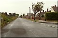


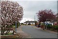
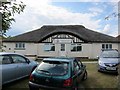
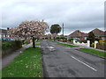
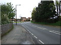
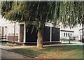
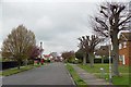
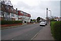
14 photos from this area
Area Information
Key information about the CO15 1DE including its size, population, and administrative classification.
- Area Type
- Postcode
- Area Size
- 1.5 hectares
- Population
- 1387
- Population Density
- 3865 people/km²
House Prices in CO15 1DE
17
Properties
£423,495
Average Sold Price
£199,950
Lowest Price
£710,000
Highest Price
Showing 17 properties
| Address | Type | Beds | Baths | Last Sale Price | Last Sale Date | |
|---|---|---|---|---|---|---|
| 39 Arnold Road, Clacton On Sea, CO15 1DE | Bungalow | 4 | 2 | £485,000 | Mar 2025 | |
| 26 Arnold Road, Clacton On Sea, CO15 1DE | Detached | 4 | 2 | £575,000 | Apr 2024 | |
| 32 Arnold Road, Clacton On Sea, CO15 1DE | Detached | 4 | 2 | £710,000 | May 2022 | |
| 20 Arnold Road, Clacton On Sea, CO15 1DE | house | 5 | - | £545,000 | Jun 2021 | |
| 18 Arnold Road, Clacton On Sea, CO15 1DE | Detached | 3 | 2 | £340,000 | Jul 2020 | |
| 45 Arnold Road, Clacton On Sea, CO15 1DE | Detached | 6 | 4 | £355,000 | Aug 2019 | |
| 35 Arnold Road, Clacton On Sea, CO15 1DE | Semi-detached | 4 | 2 | £290,000 | Mar 2016 | |
| Nest Healthcare, 49 Arnold Road, Clacton On Sea, CO15 1DE | Detached | 6 | 3 | £310,000 | Jun 2011 | |
| Sanderson House, 24 Arnold Road, Clacton On Sea, CO15 1DE | Detached | - | - | £425,000 | Mar 2007 | |
| 36 Arnold Road, Clacton On Sea, CO15 1DE | Detached | - | - | £199,950 | Oct 2000 |
Page 1 of 2
Energy Efficiency in CO15 1DE
Amenities
Schools
| Rank | School | Type | Entry gender | Ages |
|---|
Explore more schools in this area
Go to Schools tabDemographics
Household Size
One person
most common
Accommodation Type
Houses
most common
Tenure
76
majority
Ethnic Group
White
most common
Religion
N/A
most common
Household Composition
N/A
most common
Age
47
median
Elderly (65+ years)
most common
Household Deprivation
N/A
with no deprivation
NS-SEC
22
in Lower managerial occupations
Explore more demographic insights in this area
Go to Demographics tabPlanning
Planning Constraints
- Flood RiskPremium
- Ramsar Wetland SitesPremium
- Area of Outstanding Natural BeautyPremium
- Protected Nature ReservePremium
- Protected WoodlandPremium