Area Overview for CO15 1AR
Photos of CO15 1AR
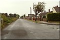

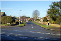
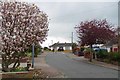
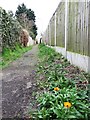
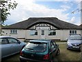
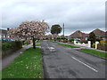
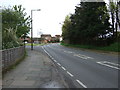
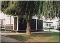
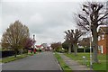
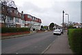
14 photos from this area
Area Information
Key information about the CO15 1AR including its size, population, and administrative classification.
- Area Type
- Postcode
- Area Size
- 10.5 hectares
- Population
- 1201
- Population Density
- 921 people/km²
House Prices in CO15 1AR
14
Properties
£312,400
Average Sold Price
£69,000
Lowest Price
£910,000
Highest Price
Showing 14 properties
| Address | Type | Beds | Baths | Last Sale Price | Last Sale Date | |
|---|---|---|---|---|---|---|
| 44 Cherry Tree Avenue, Clacton On Sea, CO15 1AR | Bungalow | 4 | 1 | £355,000 | Aug 2024 | |
| 54 Cherry Tree Avenue, Clacton On Sea, CO15 1AR | Bungalow | 2 | 1 | £310,000 | Aug 2024 | |
| West Country House, Cherry Tree Avenue, Clacton On Sea, CO15 1AR | Detached | 5 | 3 | £910,000 | Apr 2024 | |
| 52 Cherry Tree Avenue, Clacton On Sea, CO15 1AR | Bungalow | 2 | 1 | £345,000 | Apr 2023 | |
| 48 Cherry Tree Avenue, Clacton On Sea, CO15 1AR | Bungalow | 2 | 1 | £219,000 | Aug 2021 | |
| 46 Cherry Tree Avenue, Clacton On Sea, CO15 1AR | Bungalow | - | - | £206,000 | Apr 2017 | |
| 40 Cherry Tree Avenue, Clacton On Sea, CO15 1AR | Bungalow | 3 | 1 | £165,000 | Jul 2012 | |
| Kikorok, Cherry Tree Avenue, Clacton On Sea, CO15 1AR | Detached | 3 | 2 | £270,000 | Aug 2002 | |
| Mara Simba, Cherry Tree Avenue, Clacton On Sea, CO15 1AR | Detached | - | - | £275,000 | Aug 2002 | |
| 42 Cherry Tree Avenue, Clacton On Sea, CO15 1AR | Detached | - | - | £69,000 | Jul 1999 |
Page 1 of 2
Energy Efficiency in CO15 1AR
Amenities
Schools
| Rank | School | Type | Entry gender | Ages |
|---|
Explore more schools in this area
Go to Schools tabDemographics
Household Size
Two person
most common
Accommodation Type
Houses
most common
Tenure
80
majority
Ethnic Group
White
most common
Religion
N/A
most common
Household Composition
N/A
most common
Age
47
median
Adults (30-64 years)
most common
Household Deprivation
N/A
with no deprivation
NS-SEC
26
in Lower managerial occupations
Explore more demographic insights in this area
Go to Demographics tabPlanning
Planning Constraints
- Flood RiskPremium
- Ramsar Wetland SitesPremium
- Area of Outstanding Natural BeautyPremium
- Protected Nature ReservePremium
- Protected WoodlandPremium