Area Overview for CO15 1AF
Photos of CO15 1AF
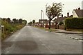

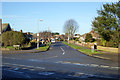
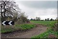
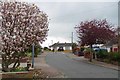
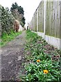
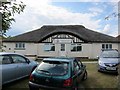
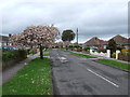
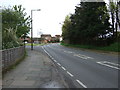
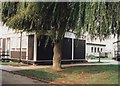
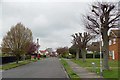
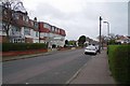
14 photos from this area
Area Information
Key information about the CO15 1AF including its size, population, and administrative classification.
- Area Type
- Postcode
- Area Size
- 6726 m²
- Population
- 1201
- Population Density
- 921 people/km²
House Prices in CO15 1AF
13
Properties
£182,785
Average Sold Price
£70,000
Lowest Price
£450,000
Highest Price
Showing 13 properties
| Address | Type | Beds | Baths | Last Sale Price | Last Sale Date | |
|---|---|---|---|---|---|---|
| 73 Queens Road, Clacton On Sea, CO15 1AF | Bungalow | 3 | 2 | £450,000 | Nov 2022 | |
| 80 Queens Road, Clacton On Sea, CO15 1AF | Bungalow | - | - | £270,000 | Jul 2022 | |
| 71 Queens Road, Clacton On Sea, CO15 1AF | Bungalow | 2 | 1 | £265,000 | Feb 2020 | |
| 76 Queens Road, Clacton On Sea, CO15 1AF | Bungalow | 2 | 1 | £137,500 | Aug 2014 | |
| 74 Queens Road, Clacton On Sea, CO15 1AF | Bungalow | 2 | - | £180,000 | Jul 2012 | |
| 75 Queens Road, Clacton On Sea, CO15 1AF | Semi-detached | - | - | £150,000 | Apr 2011 | |
| 82 Queens Road, Clacton On Sea, CO15 1AF | Semi-detached | 2 | - | £129,350 | Jul 2010 | |
| 78 Queens Road, Clacton On Sea, CO15 1AF | Detached | 2 | 1 | £82,000 | Mar 2001 | |
| 86 Queens Road, Clacton On Sea, CO15 1AF | Semi-detached | - | - | £70,000 | Nov 2000 | |
| 79 Queens Road, Clacton On Sea, CO15 1AF | Detached | - | - | £94,000 | Aug 2000 |
Page 1 of 2
Energy Efficiency in CO15 1AF
Amenities
Schools
| Rank | School | Type | Entry gender | Ages |
|---|
Explore more schools in this area
Go to Schools tabDemographics
Household Size
Two person
most common
Accommodation Type
Houses
most common
Tenure
80
majority
Ethnic Group
White
most common
Religion
N/A
most common
Household Composition
N/A
most common
Age
47
median
Adults (30-64 years)
most common
Household Deprivation
N/A
with no deprivation
NS-SEC
26
in Lower managerial occupations
Explore more demographic insights in this area
Go to Demographics tabPlanning
Planning Constraints
- Flood RiskPremium
- Ramsar Wetland SitesPremium
- Area of Outstanding Natural BeautyPremium
- Protected Nature ReservePremium
- Protected WoodlandPremium