Area Overview for CO14 8RB
Photos of CO14 8RB
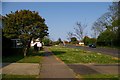
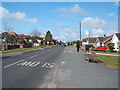
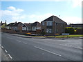
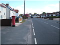
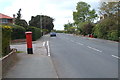
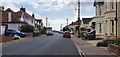
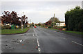
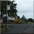
16 photos from this area
Area Information
Key information about the CO14 8RB including its size, population, and administrative classification.
- Area Type
- Postcode
- Area Size
- 1.1 hectares
- Population
- 1512
- Population Density
- 2254 people/km²
House Prices in CO14 8RB
9
Properties
£370,827
Average Sold Price
£280,000
Lowest Price
£583,308
Highest Price
Showing 9 properties
| Address | Type | Beds | Baths | Last Sale Price | Last Sale Date | |
|---|---|---|---|---|---|---|
| 97 Kirby Road, Walton On The Naze, CO14 8RB | Bungalow | - | - | £583,308 | Jun 2021 | |
| 52 Kirby Road, Walton On The Naze, CO14 8RB | Bungalow | 3 | 2 | £325,000 | Jun 2021 | |
| 99 Kirby Road, Walton On The Naze, CO14 8RB | Bungalow | 3 | 1 | £295,000 | Sep 2020 | |
| 60 Kirby Road, Walton On The Naze, CO14 8RB | Detached | 3 | 1 | £280,000 | Dec 2015 | |
| 95 Kirby Road, Walton On The Naze, CO14 8RB | Detached | 4 | 1 | - | - | |
| 56 Kirby Road, Walton On The Naze, CO14 8RB | Detached | - | - | - | - | |
| 58 Kirby Road, Walton On The Naze, CO14 8RB | Detached | - | - | - | - | |
| 54 Kirby Road, Walton On The Naze, CO14 8RB | Bungalow | - | - | - | - | |
| 103 Kirby Road, Walton On The Naze, CO14 8RB | Detached | - | - | - | - |
Energy Efficiency in CO14 8RB
Amenities
Schools
| Rank | School | Type | Entry gender | Ages |
|---|
Explore more schools in this area
Go to Schools tabDemographics
Household Size
One person
most common
Accommodation Type
Houses
most common
Tenure
59
majority
Ethnic Group
White
most common
Religion
N/A
most common
Household Composition
N/A
most common
Age
47
median
Elderly (65+ years)
most common
Household Deprivation
N/A
with no deprivation
NS-SEC
23
in Lower managerial occupations
Explore more demographic insights in this area
Go to Demographics tabPlanning
Planning Constraints
- Flood RiskPremium
- Ramsar Wetland SitesPremium
- Area of Outstanding Natural BeautyPremium
- Protected Nature ReservePremium
- Protected WoodlandPremium