Area Overview for CO13 0NH
Photos of CO13 0NH
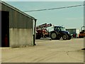
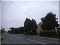
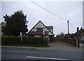
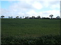
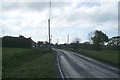
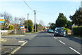
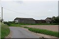
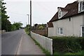
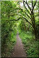
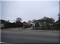
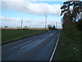
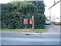
15 photos from this area
Area Information
Key information about the CO13 0NH including its size, population, and administrative classification.
- Area Type
- Postcode
- Area Size
- 20.1 hectares
- Population
- 1931
- Population Density
- 184 people/km²
House Prices in CO13 0NH
34
Properties
£268,294
Average Sold Price
£83,000
Lowest Price
£455,000
Highest Price
Showing 34 properties
| Address | Type | Beds | Baths | Last Sale Price | Last Sale Date | |
|---|---|---|---|---|---|---|
| 179 Thorpe Road, Kirby Cross, CO13 0NH | house | 4 | 2 | £455,000 | Jan 2024 | |
| 172 Thorpe Road, Kirby Cross, CO13 0NH | Semi-detached | 2 | 1 | £267,500 | Oct 2023 | |
| 193 Thorpe Road, Kirby Cross, CO13 0NH | house | - | - | £405,000 | Jun 2021 | |
| 199 Thorpe Road, Kirby Cross, CO13 0NH | Detached | 3 | 2 | £375,000 | May 2021 | |
| 197 Thorpe Road, Kirby Cross, CO13 0NH | Bungalow | 7 | 3 | £167,000 | Mar 2021 | |
| 189 Thorpe Road, Kirby Cross, CO13 0NH | Chalet | 3 | - | £375,000 | Dec 2020 | |
| 209 Thorpe Road, Kirby Cross, CO13 0NH | Semi-detached | 2 | 1 | £200,000 | Sep 2019 | |
| 174 Thorpe Road, Kirby Cross, CO13 0NH | house | - | - | £230,000 | Jan 2019 | |
| 191 Thorpe Road, Kirby Cross, CO13 0NH | Chalet | 3 | 2 | £275,000 | Nov 2017 | |
| 215 Thorpe Road, Kirby Cross, CO13 0NH | Semi-detached | 4 | 2 | £305,000 | Aug 2017 |
Page 1 of 4
Energy Efficiency in CO13 0NH
Amenities
Schools
| Rank | School | Type | Entry gender | Ages |
|---|
Explore more schools in this area
Go to Schools tabDemographics
Household Size
Two person
most common
Accommodation Type
Houses
most common
Tenure
80
majority
Ethnic Group
White
most common
Religion
N/A
most common
Household Composition
N/A
most common
Age
47
median
Adults (30-64 years)
most common
Household Deprivation
N/A
with no deprivation
NS-SEC
27
in Lower managerial occupations
Explore more demographic insights in this area
Go to Demographics tabPlanning
Planning Constraints
- Flood RiskPremium
- Ramsar Wetland SitesPremium
- Area of Outstanding Natural BeautyPremium
- Protected Nature ReservePremium
- Protected WoodlandPremium