Area Overview for CO12 5FB
Photos of CO12 5FB
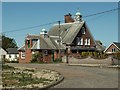
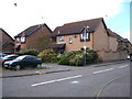
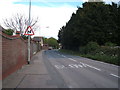
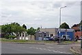
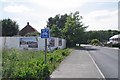
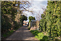
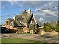
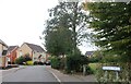
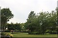
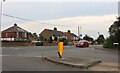
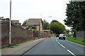
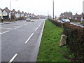
15 photos from this area
Area Information
Key information about the CO12 5FB including its size, population, and administrative classification.
- Area Type
- Postcode
- Area Size
- 1.2 hectares
- Population
- 1949
- Population Density
- 2962 people/km²
House Prices in CO12 5FB
28
Properties
£236,507
Average Sold Price
£125,500
Lowest Price
£353,000
Highest Price
Showing 28 properties
| Address | Type | Beds | Baths | Last Sale Price | Last Sale Date | |
|---|---|---|---|---|---|---|
| 8 Parade Drive, Dovercourt, CO12 5FB | Detached | 4 | 2 | £320,000 | Dec 2024 | |
| 12 Parade Drive, Dovercourt, CO12 5FB | Detached | 3 | 1 | £310,000 | Aug 2024 | |
| 37 Parade Drive, Dovercourt, CO12 5FB | Detached | 3 | 1 | £326,500 | Dec 2022 | |
| 29 Parade Drive, Dovercourt, CO12 5FB | Detached | 4 | - | £305,000 | Sep 2021 | |
| 14 Parade Drive, Dovercourt, CO12 5FB | house | - | - | £312,500 | May 2021 | |
| 4 Parade Drive, Dovercourt, CO12 5FB | house | - | - | £332,000 | Apr 2021 | |
| 3 Parade Drive, Dovercourt, CO12 5FB | house | - | - | £322,000 | Feb 2021 | |
| 15 Parade Drive, Dovercourt, CO12 5FB | Detached | 4 | 1 | £310,000 | Mar 2020 | |
| 17 Parade Drive, Dovercourt, CO12 5FB | Detached | 4 | 1 | £309,000 | Dec 2019 | |
| 6 Parade Drive, Dovercourt, CO12 5FB | Detached | 4 | 1 | £298,000 | Feb 2019 |
Page 1 of 3
Energy Efficiency in CO12 5FB
Amenities
Schools
| Rank | School | Type | Entry gender | Ages |
|---|
Explore more schools in this area
Go to Schools tabDemographics
Household Size
Two person
most common
Accommodation Type
Houses
most common
Tenure
83
majority
Ethnic Group
White
most common
Religion
N/A
most common
Household Composition
N/A
most common
Age
47
median
Adults (30-64 years)
most common
Household Deprivation
N/A
with no deprivation
NS-SEC
27
in Lower managerial occupations
Explore more demographic insights in this area
Go to Demographics tabPlanning
Planning Constraints
- Flood RiskPremium
- Ramsar Wetland SitesPremium
- Area of Outstanding Natural BeautyPremium
- Protected Nature ReservePremium
- Protected WoodlandPremium