Area Overview for CO12 4XU
Photos of CO12 4XU
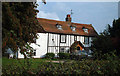
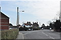
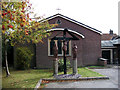
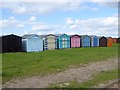
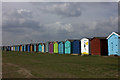
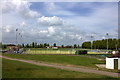
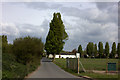

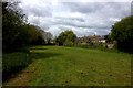
52 photos from this area
Area Information
Key information about the CO12 4XU including its size, population, and administrative classification.
- Area Type
- Postcode
- Area Size
- 2.7 hectares
- Population
- 1796
- Population Density
- 4112 people/km²
House Prices in CO12 4XU
25
Properties
£167,750
Average Sold Price
£118,000
Lowest Price
£215,000
Highest Price
Showing 25 properties
| Address | Type | Beds | Baths | Last Sale Price | Last Sale Date | |
|---|---|---|---|---|---|---|
| 21 William Groom Avenue, Dovercourt, CO12 4XU | Semi-detached | 3 | 1 | £210,000 | Feb 2025 | |
| 23 William Groom Avenue, Dovercourt, CO12 4XU | Detached | 3 | 1 | £215,000 | Dec 2024 | |
| 1 William Groom Avenue, Dovercourt, CO12 4XU | house | 2 | 1 | £200,000 | Dec 2024 | |
| 7 William Groom Avenue, Dovercourt, CO12 4XU | Semi-detached | 3 | 1 | £131,000 | Jul 2018 | |
| 19 William Groom Avenue, Dovercourt, CO12 4XU | Semi-detached | 3 | - | £118,000 | Nov 2013 | |
| 15 William Groom Avenue, Dovercourt, CO12 4XU | Semi-detached | 3 | 1 | £132,500 | Jan 2005 | |
| 27 William Groom Avenue, Dovercourt, CO12 4XU | house | - | - | - | - | |
| 14 William Groom Avenue, Dovercourt, CO12 4XU | house | - | - | - | - | |
| 29 William Groom Avenue, Dovercourt, CO12 4XU | house | - | - | - | - | |
| 11 William Groom Avenue, Dovercourt, CO12 4XU | house | - | - | - | - |
Page 1 of 3
Energy Efficiency in CO12 4XU
Amenities
Schools
| Rank | School | Type | Entry gender | Ages |
|---|
Explore more schools in this area
Go to Schools tabDemographics
Household Size
One person
most common
Accommodation Type
Houses
most common
Tenure
53
majority
Ethnic Group
White
most common
Religion
N/A
most common
Household Composition
N/A
most common
Age
47
median
Adults (30-64 years)
most common
Household Deprivation
N/A
with no deprivation
NS-SEC
19
in Lower managerial occupations
Explore more demographic insights in this area
Go to Demographics tabPlanning
Planning Constraints
- Flood RiskPremium
- Ramsar Wetland SitesPremium
- Area of Outstanding Natural BeautyPremium
- Protected Nature ReservePremium
- Protected WoodlandPremium