Area Overview for CO12 4PS
Photos of CO12 4PS
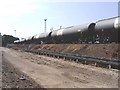
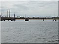
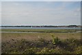
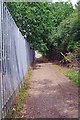
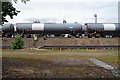
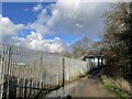
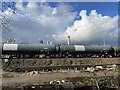
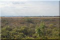
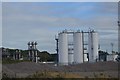
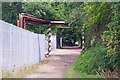
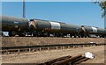
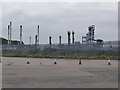
13 photos from this area
Area Information
Key information about the CO12 4PS including its size, population, and administrative classification.
- Area Type
- Postcode
- Area Size
- 84.8 hectares
- Population
- 2553
- Population Density
- 1015 people/km²
House Prices in CO12 4PS
32
Properties
£117,533
Average Sold Price
£23,000
Lowest Price
£180,000
Highest Price
Showing 32 properties
| Address | Type | Beds | Baths | Last Sale Price | Last Sale Date | |
|---|---|---|---|---|---|---|
| 56 Una Road, Parkeston, CO12 4PS | Semi-detached | 3 | 1 | £155,000 | Jul 2019 | |
| 57 Una Road, Parkeston, CO12 4PS | Semi-detached | 3 | 2 | £145,500 | Dec 2017 | |
| Bramble Farm, 75 Una Road, Parkeston, CO12 4PS | Bungalow | 3 | 1 | £180,000 | Sep 2016 | |
| 60 Una Road, Parkeston, CO12 4PS | Semi-detached | 3 | - | £131,000 | Mar 2015 | |
| 48 Una Road, Parkeston, CO12 4PS | Semi-detached | 3 | 2 | £105,000 | Apr 2014 | |
| 58 Una Road, Parkeston, CO12 4PS | Semi-detached | 3 | - | £118,000 | Feb 2014 | |
| 52 Una Road, Parkeston, CO12 4PS | Semi-detached | 3 | 2 | £124,000 | Jan 2013 | |
| 51 Una Road, Parkeston, CO12 4PS | house | - | - | £85,000 | Jan 2013 | |
| 62 Una Road, Parkeston, CO12 4PS | Terraced | - | - | £117,000 | Jul 2012 | |
| 53 Una Road, Parkeston, CO12 4PS | house | - | - | £140,000 | Oct 2007 |
Page 1 of 4
Energy Efficiency in CO12 4PS
Amenities
Schools
| Rank | School | Type | Entry gender | Ages |
|---|
Explore more schools in this area
Go to Schools tabDemographics
Household Size
One person
most common
Accommodation Type
Houses
most common
Tenure
59
majority
Ethnic Group
White
most common
Religion
N/A
most common
Household Composition
N/A
most common
Age
47
median
Adults (30-64 years)
most common
Household Deprivation
N/A
with no deprivation
NS-SEC
19
in Lower managerial occupations
Explore more demographic insights in this area
Go to Demographics tabPlanning
Planning Constraints
- Flood RiskPremium
- Ramsar Wetland SitesPremium
- Area of Outstanding Natural BeautyPremium
- Protected Nature ReservePremium
- Protected WoodlandPremium