Area Overview for CO12 3EE
Photos of CO12 3EE
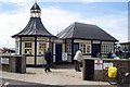
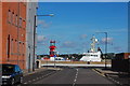
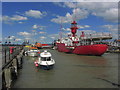
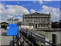
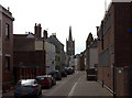
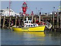
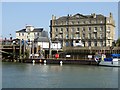
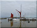
100 photos from this area
Area Information
Key information about the CO12 3EE including its size, population, and administrative classification.
- Area Type
- Postcode
- Area Size
- 3241 m²
- Population
- 1324
- Population Density
- 5404 people/km²
House Prices in CO12 3EE
21
Properties
£146,781
Average Sold Price
£50,000
Lowest Price
£415,000
Highest Price
Showing 21 properties
| Address | Type | Beds | Baths | Last Sale Price | Last Sale Date | |
|---|---|---|---|---|---|---|
| 27 Kings Head Street, Harwich, CO12 3EE | Terraced | 5 | 1 | £415,000 | May 2025 | |
| 19 Kings Head Street, Harwich, CO12 3EE | house | 2 | 1 | £137,000 | May 2024 | |
| 24 Kings Head Street, Harwich, CO12 3EE | Terraced | 2 | 1 | £147,000 | Nov 2023 | |
| 20 Kings Head Street, Harwich, CO12 3EE | Terraced | 2 | 1 | £215,000 | Dec 2022 | |
| 15 Kings Head Street, Harwich, CO12 3EE | Terraced | 4 | 1 | £265,000 | May 2020 | |
| 26 Kings Head Street, Harwich, CO12 3EE | Terraced | 3 | - | £317,000 | Aug 2016 | |
| 22 Kings Head Street, Harwich, CO12 3EE | Terraced | 2 | 1 | £112,000 | Nov 2015 | |
| 17A Kings Head Street, Harwich, CO12 3EE | Cottage | 1 | 1 | £93,000 | Jul 2015 | |
| 29 Kings Head Street, Harwich, CO12 3EE | Semi-detached | 2 | 1 | £77,500 | Apr 2011 | |
| 28 Kings Head Street, Harwich, CO12 3EE | Semi-detached | 2 | 1 | £77,500 | Apr 2011 |
Page 1 of 3
Energy Efficiency in CO12 3EE
Amenities
Schools
| Rank | School | Type | Entry gender | Ages |
|---|
Explore more schools in this area
Go to Schools tabDemographics
Household Size
One person
most common
Accommodation Type
Houses
most common
Tenure
39
majority
Ethnic Group
White
most common
Religion
N/A
most common
Household Composition
N/A
most common
Age
47
median
Adults (30-64 years)
most common
Household Deprivation
N/A
with no deprivation
NS-SEC
22
in Lower managerial occupations
Explore more demographic insights in this area
Go to Demographics tabPlanning
Planning Constraints
- Flood RiskPremium
- Ramsar Wetland SitesPremium
- Area of Outstanding Natural BeautyPremium
- Protected Nature ReservePremium
- Protected WoodlandPremium