Area Overview for CO11 1LQ
Photos of CO11 1LQ

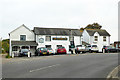
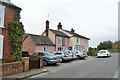
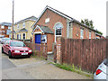
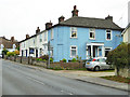
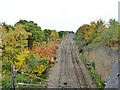
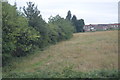
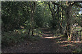
36 photos from this area
Area Information
Key information about the CO11 1LQ including its size, population, and administrative classification.
- Area Type
- Postcode
- Area Size
- 5808 m²
- Population
- 1683
- Population Density
- 2194 people/km²
House Prices in CO11 1LQ
6
Properties
£208,083
Average Sold Price
£139,000
Lowest Price
£295,000
Highest Price
Showing 6 properties
| Address | Type | Beds | Baths | Last Sale Price | Last Sale Date | |
|---|---|---|---|---|---|---|
| 26 Harwich Road, Mistley, CO11 1LQ | Bungalow | 2 | 1 | £295,000 | Mar 2021 | |
| 20 Harwich Road, Mistley, CO11 1LQ | house | - | - | £207,000 | Feb 2010 | |
| 22 Harwich Road, Mistley, CO11 1LQ | house | - | - | £175,000 | Nov 2009 | |
| Ye Old Mill Cottage, 18A Harwich Road, Mistley, CO11 1LQ | Semi-detached | 2 | 1 | £139,000 | May 2007 | |
| 24 Harwich Road, Mistley, CO11 1LQ | Terraced | 3 | - | £260,000 | Mar 2004 | |
| The Old Mill House, 18 Harwich Road, Mistley, CO11 1LQ | house | 2 | - | £172,500 | Dec 2003 |
Energy Efficiency in CO11 1LQ
Amenities
Schools
| Rank | School | Type | Entry gender | Ages |
|---|
Explore more schools in this area
Go to Schools tabDemographics
Household Size
One person
most common
Accommodation Type
Houses
most common
Tenure
62
majority
Ethnic Group
White
most common
Religion
N/A
most common
Household Composition
N/A
most common
Age
47
median
Adults (30-64 years)
most common
Household Deprivation
N/A
with no deprivation
NS-SEC
40
in Lower managerial occupations
Explore more demographic insights in this area
Go to Demographics tabPlanning
Planning Constraints
- Flood RiskPremium
- Ramsar Wetland SitesPremium
- Area of Outstanding Natural BeautyPremium
- Protected Nature ReservePremium
- Protected WoodlandPremium