Area Overview for CO11 1HD
Photos of CO11 1HD
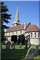
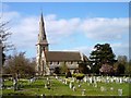


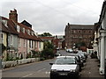
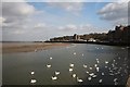
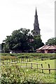
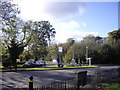
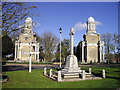
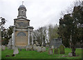
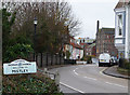
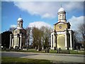
100 photos from this area
Area Information
Key information about the CO11 1HD including its size, population, and administrative classification.
- Area Type
- Postcode
- Area Size
- 2980 m²
- Population
- 1683
- Population Density
- 2194 people/km²
House Prices in CO11 1HD
9
Properties
£517,215
Average Sold Price
£120,000
Lowest Price
£1,225,000
Highest Price
Showing 9 properties
| Address | Type | Beds | Baths | Last Sale Price | Last Sale Date | |
|---|---|---|---|---|---|---|
| The Moorings, High Street, Mistley, CO11 1HD | Semi-detached | 4 | 2 | £590,000 | Oct 2023 | |
| Mistley House, High Street, Mistley, CO11 1HD | Character Property | 6 | 4 | £1,225,000 | Feb 2023 | |
| Dolphin House, High Street, Mistley, CO11 1HD | house | - | - | £379,995 | Dec 2010 | |
| Acacia House, High Street, Mistley, CO11 1HD | Terraced | - | - | £271,080 | Jun 2000 | |
| Staplehurst, High Street, Mistley, CO11 1HD | Terraced | - | - | £120,000 | Oct 1998 | |
| Constable Place, High Street, Mistley, CO11 1HD | Terraced | 5 | 2 | - | - | |
| Anchor House, 1A High Street, Mistley, CO11 1HD | house | 4 | - | - | - | |
| The Mistley Kitchen, Cookery School At, Calbourne, High Street, Mistley, CO11 1HD | shop | - | - | - | - | |
| Stour House, High Street, Mistley, CO11 1HD | Terraced | - | - | - | - |
Energy Efficiency in CO11 1HD
Amenities
Schools
| Rank | School | Type | Entry gender | Ages |
|---|
Explore more schools in this area
Go to Schools tabDemographics
Household Size
One person
most common
Accommodation Type
Houses
most common
Tenure
62
majority
Ethnic Group
White
most common
Religion
N/A
most common
Household Composition
N/A
most common
Age
47
median
Adults (30-64 years)
most common
Household Deprivation
N/A
with no deprivation
NS-SEC
40
in Lower managerial occupations
Explore more demographic insights in this area
Go to Demographics tabPlanning
Planning Constraints
- Flood RiskPremium
- Ramsar Wetland SitesPremium
- Area of Outstanding Natural BeautyPremium
- Protected Nature ReservePremium
- Protected WoodlandPremium