Area Overview for CO10 9LB
Photos of CO10 9LB
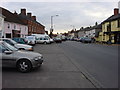
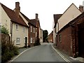
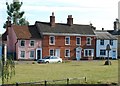
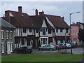
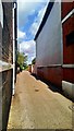
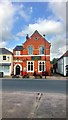
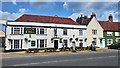
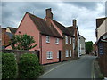
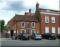
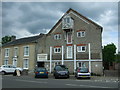
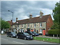
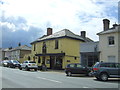
100 photos from this area
Area Information
Key information about the CO10 9LB including its size, population, and administrative classification.
- Area Type
- Postcode
- Area Size
- 1076 m²
- Population
- 2395
- Population Density
- 188 people/km²
House Prices in CO10 9LB
8
Properties
£181,599
Average Sold Price
£95,000
Lowest Price
£399,995
Highest Price
Showing 8 properties
| Address | Type | Beds | Baths | Last Sale Price | Last Sale Date | |
|---|---|---|---|---|---|---|
| Lyston House, Little St Marys, Long Melford, CO10 9LB | Semi-detached | - | - | £399,995 | Oct 2022 | |
| 2 Little St Marys, Long Melford, CO10 9LB | Terraced | 2 | 1 | £155,000 | Dec 2015 | |
| The Original, 4 Little St Marys, Long Melford, CO10 9LB | house | 2 | 2 | £142,000 | Apr 2010 | |
| 3 Little St Marys, Long Melford, CO10 9LB | house | 2 | 1 | £116,000 | Feb 2006 | |
| The Coterage, 5 Little St Marys, Long Melford, CO10 9LB | house | 1 | 1 | £95,000 | Sep 2005 | |
| 6 Little St Marys, Long Melford, CO10 9LB | Terraced | 2 | - | - | - | |
| Laburnham Cottage, Little St Marys, Long Melford, CO10 9LB | Terraced | - | - | - | - | |
| Red Bricks, 1 Little St Marys, Long Melford, CO10 9LB | Terraced | - | - | - | - |
Energy Efficiency in CO10 9LB
Amenities
Schools
| Rank | School | Type | Entry gender | Ages |
|---|
Explore more schools in this area
Go to Schools tabDemographics
Household Size
Two person
most common
Accommodation Type
Houses
most common
Tenure
75
majority
Ethnic Group
White
most common
Religion
N/A
most common
Household Composition
N/A
most common
Age
47
median
Adults (30-64 years)
most common
Household Deprivation
N/A
with no deprivation
NS-SEC
35
in Lower managerial occupations
Explore more demographic insights in this area
Go to Demographics tabPlanning
Planning Constraints
- Flood RiskPremium
- Ramsar Wetland SitesPremium
- Area of Outstanding Natural BeautyPremium
- Protected Nature ReservePremium
- Protected WoodlandPremium