Area Overview for CO10 8BH
Photos of CO10 8BH
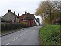
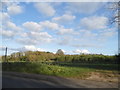
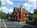
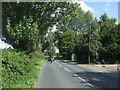
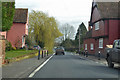
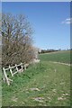
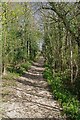
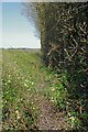
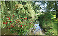
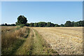
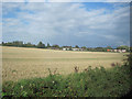
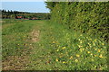
17 photos from this area
Area Information
Key information about the CO10 8BH including its size, population, and administrative classification.
- Area Type
- Postcode
- Area Size
- 17.3 hectares
- Population
- 1953
- Population Density
- 41 people/km²
House Prices in CO10 8BH
14
Properties
£385,375
Average Sold Price
£96,500
Lowest Price
£785,000
Highest Price
Showing 14 properties
| Address | Type | Beds | Baths | Last Sale Price | Last Sale Date | |
|---|---|---|---|---|---|---|
| The Red House, Stour Street, Cavendish, CO10 8BH | Cottage | 5 | 2 | £785,000 | Oct 2025 | |
| Meadow View, Stour Street, Cavendish, CO10 8BH | Detached | 3 | 1 | £335,000 | Aug 2024 | |
| Sycamore Lodge, Stour Street, Cavendish, CO10 8BH | Detached | 3 | 1 | £325,000 | Apr 2019 | |
| Mumfords Corner, Stour Street, Cavendish, CO10 8BH | Cottage | 1 | 1 | £96,500 | Apr 2003 | |
| Mumfords, Stour Street, Cavendish, CO10 8BH | Semi-detached | 2 | 2 | - | - | |
| Bowness, Stour Street, Cavendish, CO10 8BH | Bungalow | 2 | 1 | - | - | |
| 1, Stour Villas, Stour Street, Cavendish, CO10 8BH | Semi-detached | 2 | - | - | - | |
| Bourne End, 5 Stour Street, Cavendish, CO10 8BH | Semi-detached | 3 | - | - | - | |
| 6 Stour Street, Cavendish, CO10 8BH | Semi-detached | - | - | - | - | |
| 2 Stour Street, Cavendish, CO10 8BH | Bungalow | - | - | - | - |
Page 1 of 2
Energy Efficiency in CO10 8BH
Amenities
Schools
| Rank | School | Type | Entry gender | Ages |
|---|
Explore more schools in this area
Go to Schools tabDemographics
Household Size
Two person
most common
Accommodation Type
Houses
most common
Tenure
79
majority
Ethnic Group
White
most common
Religion
N/A
most common
Household Composition
N/A
most common
Age
47
median
Adults (30-64 years)
most common
Household Deprivation
N/A
with no deprivation
NS-SEC
41
in Lower managerial occupations
Explore more demographic insights in this area
Go to Demographics tabPlanning
Planning Constraints
- Flood RiskPremium
- Ramsar Wetland SitesPremium
- Area of Outstanding Natural BeautyPremium
- Protected Nature ReservePremium
- Protected WoodlandPremium