Area Overview for CO10 1AE
Photos of CO10 1AE
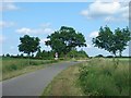
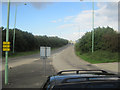
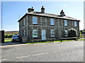
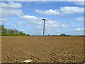
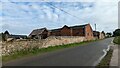
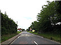
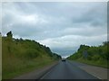
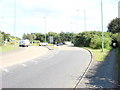
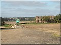
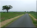
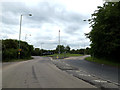
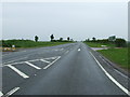
16 photos from this area
Area Information
Key information about the CO10 1AE including its size, population, and administrative classification.
- Area Type
- Postcode
- Area Size
- 2.8 hectares
- Population
- 1998
- Population Density
- 2159 people/km²
House Prices in CO10 1AE
40
Properties
£240,792
Average Sold Price
£145,000
Lowest Price
£370,000
Highest Price
Showing 40 properties
| Address | Type | Beds | Baths | Last Sale Price | Last Sale Date | |
|---|---|---|---|---|---|---|
| 86 Clermont Avenue, Sudbury, CO10 1AE | Semi-detached | 3 | 1 | £290,000 | Jun 2024 | |
| 96 Clermont Avenue, Sudbury, CO10 1AE | house | - | - | £315,000 | Apr 2024 | |
| 88 Clermont Avenue, Sudbury, CO10 1AE | Terraced | 3 | 1 | £275,000 | Nov 2022 | |
| 126 Clermont Avenue, Sudbury, CO10 1AE | house | - | - | £250,000 | Aug 2021 | |
| 130 Clermont Avenue, Sudbury, CO10 1AE | Detached | 4 | 2 | £370,000 | Nov 2020 | |
| 62 Clermont Avenue, Sudbury, CO10 1AE | Terraced | 2 | 1 | £185,000 | Oct 2019 | |
| 80 Clermont Avenue, Sudbury, CO10 1AE | Semi-detached | 2 | 1 | £217,500 | Feb 2019 | |
| 104 Clermont Avenue, Sudbury, CO10 1AE | house | 4 | - | £332,000 | Jun 2015 | |
| 90 Clermont Avenue, Sudbury, CO10 1AE | Semi-detached | 3 | 2 | £210,000 | Feb 2015 | |
| 60 Clermont Avenue, Sudbury, CO10 1AE | Detached | 2 | 1 | £145,000 | May 2011 |
Page 1 of 4
Energy Efficiency in CO10 1AE
Amenities
Schools
| Rank | School | Type | Entry gender | Ages |
|---|
Explore more schools in this area
Go to Schools tabDemographics
Household Size
Two person
most common
Accommodation Type
Houses
most common
Tenure
78
majority
Ethnic Group
White
most common
Religion
N/A
most common
Household Composition
N/A
most common
Age
47
median
Adults (30-64 years)
most common
Household Deprivation
N/A
with no deprivation
NS-SEC
33
in Lower managerial occupations
Explore more demographic insights in this area
Go to Demographics tabPlanning
Planning Constraints
- Flood RiskPremium
- Ramsar Wetland SitesPremium
- Area of Outstanding Natural BeautyPremium
- Protected Nature ReservePremium
- Protected WoodlandPremium