Area Overview for CO1 2SY
Photos of CO1 2SY
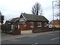
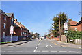
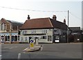
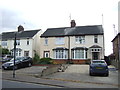
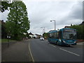
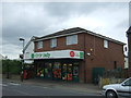
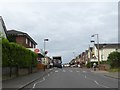
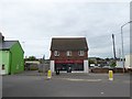
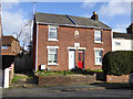
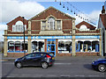
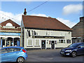
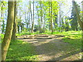
25 photos from this area
Area Information
Key information about the CO1 2SY including its size, population, and administrative classification.
- Area Type
- Postcode
- Area Size
- 1.3 hectares
- Population
- 1364
- Population Density
- 3679 people/km²
House Prices in CO1 2SY
26
Properties
£157,781
Average Sold Price
£37,000
Lowest Price
£252,500
Highest Price
Showing 26 properties
| Address | Type | Beds | Baths | Last Sale Price | Last Sale Date | |
|---|---|---|---|---|---|---|
| 75 Greenstead Road, Colchester, CO1 2SY | Terraced | 2 | 1 | £207,500 | Jun 2025 | |
| 95 Greenstead Road, Colchester, CO1 2SY | Terraced | 2 | 1 | £252,500 | Aug 2024 | |
| 69 Greenstead Road, Colchester, CO1 2SY | Detached | 4 | 1 | £250,000 | May 2024 | |
| 85 Greenstead Road, Colchester, CO1 2SY | Terraced | 2 | 1 | £252,000 | Nov 2022 | |
| 73 Greenstead Road, Colchester, CO1 2SY | Terraced | 2 | 1 | £203,000 | Jun 2022 | |
| 71 Greenstead Road, Colchester, CO1 2SY | Terraced | 2 | 1 | £210,000 | Sep 2021 | |
| 83 Greenstead Road, Colchester, CO1 2SY | house | 2 | - | £185,000 | Jan 2021 | |
| 97 Greenstead Road, Colchester, CO1 2SY | Terraced | 2 | 1 | £160,000 | Oct 2019 | |
| 81 Greenstead Road, Colchester, CO1 2SY | house | - | - | £178,000 | Jan 2017 | |
| 87 Greenstead Road, Colchester, CO1 2SY | Terraced | 3 | 2 | £125,000 | Jun 2015 |
Page 1 of 3
Energy Efficiency in CO1 2SY
Amenities
Schools
| Rank | School | Type | Entry gender | Ages |
|---|
Explore more schools in this area
Go to Schools tabDemographics
Household Size
One person
most common
Accommodation Type
Houses
most common
Tenure
49
majority
Ethnic Group
White
most common
Religion
N/A
most common
Household Composition
N/A
most common
Age
47
median
Adults (30-64 years)
most common
Household Deprivation
N/A
with no deprivation
NS-SEC
24
in Lower managerial occupations
Explore more demographic insights in this area
Go to Demographics tabPlanning
Planning Constraints
- Flood RiskPremium
- Ramsar Wetland SitesPremium
- Area of Outstanding Natural BeautyPremium
- Protected Nature ReservePremium
- Protected WoodlandPremium