Area Overview for CM9 8HJ
Photos of CM9 8HJ
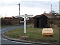
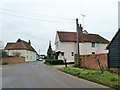
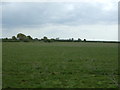
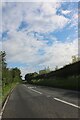
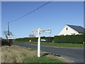
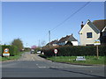
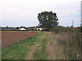
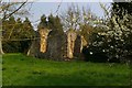
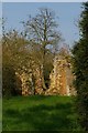
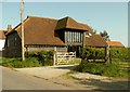
15 photos from this area
Area Information
Key information about the CM9 8HJ including its size, population, and administrative classification.
- Area Type
- Postcode
- Area Size
- 19.8 hectares
- Population
- 1737
- Population Density
- 48 people/km²
House Prices in CM9 8HJ
20
Properties
£315,700
Average Sold Price
£108,500
Lowest Price
£530,000
Highest Price
Showing 20 properties
| Address | Type | Beds | Baths | Last Sale Price | Last Sale Date | |
|---|---|---|---|---|---|---|
| Warwick House, The Street, Salcott, CM9 8HJ | Terraced | 3 | 1 | £280,000 | Jun 2025 | |
| North View, The Street, Salcott, CM9 8HJ | Detached | 5 | 3 | £465,000 | Oct 2021 | |
| Little Marneys, The Street, Salcott, CM9 8HJ | Detached | 5 | 3 | £530,000 | Nov 2018 | |
| Marshlands, The Street, Salcott, CM9 8HJ | Bungalow | - | - | £195,000 | Jun 2009 | |
| Willow Cottage, The Street, Salcott, CM9 8HJ | Semi-detached | - | - | £108,500 | Aug 1999 | |
| Salcott Cottage, The Street, Salcott, CM9 8HJ | Land | 4 | - | - | - | |
| Ashton House, The Street, Salcott, CM9 8HJ | house | 4 | 1 | - | - | |
| Former Marshlands, The Street, Salcott, CM9 8HJ | Land | 4 | - | - | - | |
| The Barn, The Street, Salcott, CM9 8HJ | house | - | - | - | - | |
| Waterstyle Lodge, The Street, Salcott, CM9 8HJ | Detached | - | - | - | - |
Page 1 of 2
Energy Efficiency in CM9 8HJ
Amenities
Schools
| Rank | School | Type | Entry gender | Ages |
|---|
Explore more schools in this area
Go to Schools tabDemographics
Household Size
Two person
most common
Accommodation Type
Houses
most common
Tenure
74
majority
Ethnic Group
White
most common
Religion
N/A
most common
Household Composition
N/A
most common
Age
47
median
Adults (30-64 years)
most common
Household Deprivation
N/A
with no deprivation
NS-SEC
37
in Lower managerial occupations
Explore more demographic insights in this area
Go to Demographics tabPlanning
Planning Constraints
- Flood RiskPremium
- Ramsar Wetland SitesPremium
- Area of Outstanding Natural BeautyPremium
- Protected Nature ReservePremium
- Protected WoodlandPremium