Area Overview for CM7 4TS
Photos of CM7 4TS
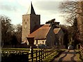
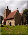
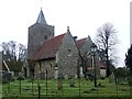
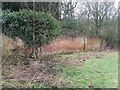
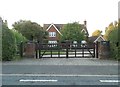
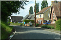

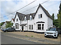
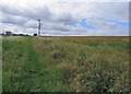
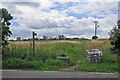
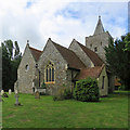
27 photos from this area
Area Information
Key information about the CM7 4TS including its size, population, and administrative classification.
- Area Type
- Postcode
- Area Size
- 29.3 hectares
- Population
- 1854
- Population Density
- 53 people/km²
House Prices in CM7 4TS
17
Properties
£613,625
Average Sold Price
£173,000
Lowest Price
£1,125,000
Highest Price
Showing 17 properties
| Address | Type | Beds | Baths | Last Sale Price | Last Sale Date | |
|---|---|---|---|---|---|---|
| Southfield House, Little Bardfield Road, Little Bardfield, CM7 4TS | Detached | 4 | 3 | £715,000 | Jun 2025 | |
| Guivers, Little Bardfield Road, Little Bardfield, CM7 4TS | Detached | 4 | 2 | £680,000 | Nov 2024 | |
| Phoenix House, Little Bardfield Road, Little Bardfield, CM7 4TS | Detached | 5 | 3 | £915,000 | Feb 2022 | |
| White House, Little Bardfield Road, Little Bardfield, CM7 4TS | Detached | 4 | 2 | £725,000 | Feb 2022 | |
| Rose Cottage, Little Bardfield Road, Little Bardfield, CM7 4TS | house | - | - | £1,125,000 | Jan 2022 | |
| 3, Bakers Cottages, Little Bardfield Road, Little Bardfield, CM7 4TS | Detached | 3 | 2 | £435,000 | Nov 2016 | |
| Blakemore, Little Bardfield Road, Little Bardfield, CM7 4TS | house | 5 | - | £760,000 | Mar 2014 | |
| Yew Tree Cottage, Little Bardfield Road, Little Bardfield, CM7 4TS | house | 3 | - | £315,000 | Oct 2010 | |
| 1, Bakers Cottages, Little Bardfield Road, Little Bardfield, CM7 4TS | Detached | 3 | - | £293,250 | Jun 2006 | |
| 4, Bakers Cottages, Little Bardfield Road, Little Bardfield, CM7 4TS | Detached | 3 | 1 | £173,000 | Oct 2000 |
Page 1 of 2
Energy Efficiency in CM7 4TS
Amenities
Schools
| Rank | School | Type | Entry gender | Ages |
|---|
Explore more schools in this area
Go to Schools tabDemographics
Household Size
Two person
most common
Accommodation Type
Houses
most common
Tenure
78
majority
Ethnic Group
White
most common
Religion
N/A
most common
Household Composition
N/A
most common
Age
47
median
Adults (30-64 years)
most common
Household Deprivation
N/A
with no deprivation
NS-SEC
42
in Lower managerial occupations
Explore more demographic insights in this area
Go to Demographics tabPlanning
Planning Constraints
- Flood RiskPremium
- Ramsar Wetland SitesPremium
- Area of Outstanding Natural BeautyPremium
- Protected Nature ReservePremium
- Protected WoodlandPremium