Area Overview for CM6 2EH
Photos of CM6 2EH

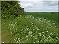
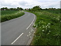
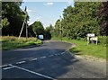

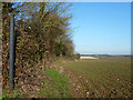
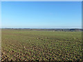
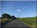
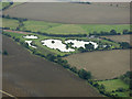
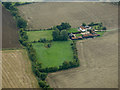
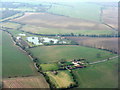
13 photos from this area
Area Information
Key information about the CM6 2EH including its size, population, and administrative classification.
- Area Type
- Postcode
- Area Size
- 1.1 km²
- Population
- 1730
- Population Density
- 60 people/km²
House Prices in CM6 2EH
13
Properties
-
Average Sold Price
-
Lowest Price
-
Highest Price
Showing 13 properties
| Address | Type | Beds | Baths | Last Sale Price | Last Sale Date | |
|---|---|---|---|---|---|---|
| 2 Coldarbour Villas, Grange Green, Tilty Grange Road, Tilty, CM6 2EH | Semi-detached | 4 | 2 | - | - | |
| George Green, Tilty Grange Road, Tilty, CM6 2EH | undefined | - | - | - | - | |
| 2 Coldharbour Farm Lane, Tilty, CM6 2EH | Semi-detached | - | - | - | - | |
| 1 Coldharbour Farm Lane, Tilty, CM6 2EH | Semi-detached | - | - | - | - | |
| The Priory, Coldarbour Farm, Tilty Grange Road, Tilty, CM6 2EH | house | 2 | - | - | - | |
| Dairymeade Farm And Fisheries, Thaxted Road, Broxted, CM6 2EH | warehouse | - | - | - | - | |
| Inglenook, Coldarbour Farm, Tilty Grange Road, Tilty, CM6 2EH | Maisonette | 2 | 1 | - | - | |
| The Old Stables, Coldarbour Farm, Tilty Grange Road, Tilty, CM6 2EH | Semi-detached | 2 | 1 | - | - | |
| Mobile Home At, Dairymeade Farm And Fisheries, Thaxted Road, Broxted, CM6 2EH | Mobile Home | - | - | - | - | |
| The Hayloft, Coldarbour Farm, Tilty Grange Road, Tilty, CM6 2EH | Flat | - | - | - | - |
Page 1 of 2
Energy Efficiency in CM6 2EH
Amenities
Schools
| Rank | School | Type | Entry gender | Ages |
|---|
Explore more schools in this area
Go to Schools tabDemographics
Household Size
Two person
most common
Accommodation Type
Houses
most common
Tenure
77
majority
Ethnic Group
White
most common
Religion
N/A
most common
Household Composition
N/A
most common
Age
47
median
Adults (30-64 years)
most common
Household Deprivation
N/A
with no deprivation
NS-SEC
39
in Lower managerial occupations
Explore more demographic insights in this area
Go to Demographics tabPlanning
Planning Constraints
- Flood RiskPremium
- Ramsar Wetland SitesPremium
- Area of Outstanding Natural BeautyPremium
- Protected Nature ReservePremium