Area Overview for CM6 1QA
Photos of CM6 1QA
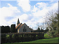
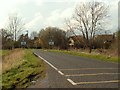
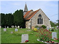
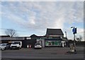
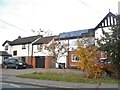
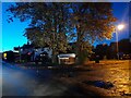
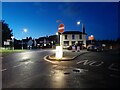
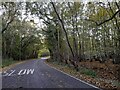
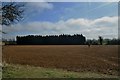
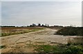
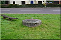
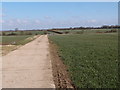
21 photos from this area
Area Information
Key information about the CM6 1QA including its size, population, and administrative classification.
- Area Type
- Postcode
- Area Size
- 3144 m²
- Population
- 2094
- Population Density
- 63 people/km²
House Prices in CM6 1QA
7
Properties
£363,990
Average Sold Price
£82,000
Lowest Price
£490,000
Highest Price
Showing 7 properties
| Address | Type | Beds | Baths | Last Sale Price | Last Sale Date | |
|---|---|---|---|---|---|---|
| 2, Motts Cottage, Dunmow Road, Leaden Roding, CM6 1QA | Semi-detached | 4 | 2 | £388,000 | Nov 2022 | |
| New Cottage, Dunmow Road, Leaden Roding, CM6 1QA | Detached | 6 | 4 | £490,000 | Jun 2021 | |
| 1, Motts Cottage, Dunmow Road, Leaden Roding, CM6 1QA | Semi-detached | 4 | 3 | £375,000 | Mar 2018 | |
| Ivy Cottage, Dunmow Road, Leaden Roding, CM6 1QA | Detached | 4 | 3 | £484,950 | Jul 2008 | |
| Walnut Tree Cottage, Dunmow Road, Leaden Roding, CM6 1QA | Semi-detached | - | - | £82,000 | Aug 1995 | |
| Finale, Dunmow Road, Leaden Roding, CM6 1QA | Detached | - | - | - | - | |
| Anns Cottage, Dunmow Road, Leaden Roding, CM6 1QA | house | - | - | - | - |
Energy Efficiency in CM6 1QA
Amenities
Schools
| Rank | School | Type | Entry gender | Ages |
|---|
Explore more schools in this area
Go to Schools tabDemographics
Household Size
Two person
most common
Accommodation Type
Houses
most common
Tenure
73
majority
Ethnic Group
White
most common
Religion
N/A
most common
Household Composition
N/A
most common
Age
47
median
Adults (30-64 years)
most common
Household Deprivation
N/A
with no deprivation
NS-SEC
40
in Lower managerial occupations
Explore more demographic insights in this area
Go to Demographics tabPlanning
Planning Constraints
- Flood RiskPremium
- Ramsar Wetland SitesPremium
- Area of Outstanding Natural BeautyPremium
- Protected Nature ReservePremium
- Protected WoodlandPremium