Area Overview for CM4 9RY
Photos of CM4 9RY
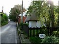
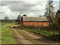
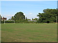
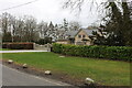
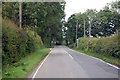
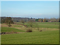
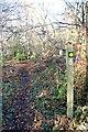
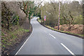
11 photos from this area
Area Information
Key information about the CM4 9RY including its size, population, and administrative classification.
- Area Type
- Postcode
- Area Size
- 11.9 hectares
- Population
- 1679
- Population Density
- 149 people/km²
House Prices in CM4 9RY
37
Properties
£727,614
Average Sold Price
£227,500
Lowest Price
£1,500,000
Highest Price
Showing 37 properties
| Address | Type | Beds | Baths | Last Sale Price | Last Sale Date | |
|---|---|---|---|---|---|---|
| 15 Mill Lane, Stock, Ingatestone, CM4 9RY | Detached | 4 | 4 | £1,350,000 | Jun 2024 | |
| 9 Mill Lane, Stock, Ingatestone, CM4 9RY | Bungalow | 3 | 1 | £1,000,000 | Jan 2024 | |
| 9A Mill Lane, Stock, Ingatestone, CM4 9RY | Detached | 5 | 2 | £975,000 | Mar 2021 | |
| Merretts, Mill Lane, Stock, Ingatestone, CM4 9RY | house | - | - | £1,500,000 | Oct 2020 | |
| 11 Mill Lane, Stock, Ingatestone, CM4 9RY | house | - | - | £1,300,000 | Aug 2020 | |
| 7A Mill Lane, Stock, Ingatestone, CM4 9RY | Land | - | - | £895,000 | Mar 2020 | |
| 5 Mill Lane, Stock, Ingatestone, CM4 9RY | Detached | 4 | - | £1,000,000 | Jun 2016 | |
| 8 Mill Lane, Stock, Ingatestone, CM4 9RY | Bungalow | 4 | - | £775,000 | Aug 2014 | |
| 7 Mill Lane, Stock, Ingatestone, CM4 9RY | Detached | 4 | - | £740,000 | Jun 2014 | |
| 27 Mill Lane, Stock, Ingatestone, CM4 9RY | Semi-detached | 3 | 1 | £330,000 | May 2013 |
Page 1 of 4
Energy Efficiency in CM4 9RY
Amenities
Schools
| Rank | School | Type | Entry gender | Ages |
|---|
Explore more schools in this area
Go to Schools tabDemographics
Household Size
Two person
most common
Accommodation Type
Houses
most common
Tenure
87
majority
Ethnic Group
White
most common
Religion
N/A
most common
Household Composition
N/A
most common
Age
47
median
Adults (30-64 years)
most common
Household Deprivation
N/A
with no deprivation
NS-SEC
49
in Lower managerial occupations
Explore more demographic insights in this area
Go to Demographics tabPlanning
Planning Constraints
- Flood RiskPremium
- Ramsar Wetland SitesPremium
- Area of Outstanding Natural BeautyPremium
- Protected Nature ReservePremium
- Protected WoodlandPremium