Area Overview for CM4 9EE
Photos of CM4 9EE
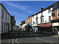
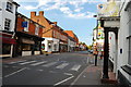
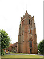
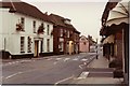
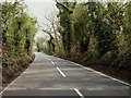
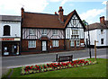
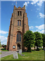
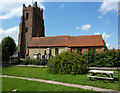
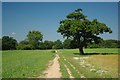
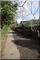
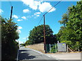
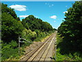
48 photos from this area
Area Information
Key information about the CM4 9EE including its size, population, and administrative classification.
- Area Type
- Postcode
- Area Size
- 2.0 hectares
- Population
- 1717
- Population Density
- 769 people/km²
House Prices in CM4 9EE
44
Properties
£605,778
Average Sold Price
£148,000
Lowest Price
£1,200,000
Highest Price
Showing 44 properties
| Address | Type | Beds | Baths | Last Sale Price | Last Sale Date | |
|---|---|---|---|---|---|---|
| 8 High Street, Ingatestone, CM4 9EE | Detached | 4 | 2 | £1,200,000 | Sep 2024 | |
| 10 High Street, Ingatestone, CM4 9EE | Terraced | 2 | 1 | £410,000 | Sep 2023 | |
| Rose Cottage, 12 High Street, Ingatestone, CM4 9EE | Semi-detached | 4 | 2 | £404,000 | Aug 2023 | |
| 14 High Street, Ingatestone, CM4 9EE | Semi-detached | 1 | 1 | £360,000 | Mar 2023 | |
| 42A High Street, Ingatestone, CM4 9EE | Flat | - | - | £250,000 | Aug 2022 | |
| 22 High Street, Ingatestone, CM4 9EE | house | - | - | £430,000 | Sep 2021 | |
| Bakehouse Cottage, High Street, Ingatestone, CM4 9EE | Detached | 4 | 2 | £887,000 | Dec 2019 | |
| The Spinney, High Street, Ingatestone, CM4 9EE | Detached | 4 | - | £950,000 | Sep 2019 | |
| Moonlight, 22A High Street, Ingatestone, CM4 9EE | Maisonette | 1 | 1 | £775,000 | Jul 2019 | |
| 20 High Street, Ingatestone, CM4 9EE | house | - | - | £460,000 | Jun 2019 |
Page 1 of 5
Energy Efficiency in CM4 9EE
Amenities
Schools
| Rank | School | Type | Entry gender | Ages |
|---|
Explore more schools in this area
Go to Schools tabDemographics
Household Size
One person
most common
Accommodation Type
Houses
most common
Tenure
69
majority
Ethnic Group
White
most common
Religion
N/A
most common
Household Composition
N/A
most common
Age
47
median
Adults (30-64 years)
most common
Household Deprivation
N/A
with no deprivation
NS-SEC
49
in Lower managerial occupations
Explore more demographic insights in this area
Go to Demographics tabPlanning
Planning Constraints
- Flood RiskPremium
- Ramsar Wetland SitesPremium
- Area of Outstanding Natural BeautyPremium
- Protected Nature ReservePremium
- Protected WoodlandPremium