Area Overview for CM3 4HF
Photos of CM3 4HF
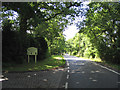
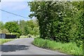
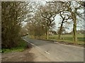
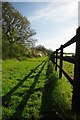
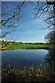
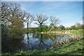
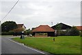
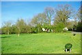
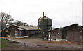
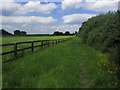
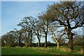
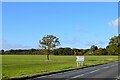
12 photos from this area
Area Information
Key information about the CM3 4HF including its size, population, and administrative classification.
- Area Type
- Postcode
- Area Size
- 98.7 hectares
- Population
- 1770
- Population Density
- 91 people/km²
House Prices in CM3 4HF
20
Properties
£581,214
Average Sold Price
£300,000
Lowest Price
£745,000
Highest Price
Showing 20 properties
| Address | Type | Beds | Baths | Last Sale Price | Last Sale Date | |
|---|---|---|---|---|---|---|
| Oakview, Leighams Road, Bicknacre, Chelmsford, CM3 4HF | Bungalow | 2 | 1 | £628,500 | May 2025 | |
| Rosemary Lodge, Leighams Road, Bicknacre, Chelmsford, CM3 4HF | Bungalow | - | - | £745,000 | Nov 2021 | |
| Vita Nova, Leighams Road, Bicknacre, Chelmsford, CM3 4HF | Bungalow | 4 | - | £300,000 | Mar 2021 | |
| Eothen, Leighams Road, Bicknacre, Chelmsford, CM3 4HF | house | - | - | £525,000 | Sep 2020 | |
| Leighams Bungalow, Leighams Road, Bicknacre, Chelmsford, CM3 4HF | Bungalow | 3 | 1 | £560,000 | Oct 2019 | |
| Highfield, Leighams Road, Bicknacre, Chelmsford, CM3 4HF | Bungalow | - | - | £670,000 | Aug 2019 | |
| The Shrubbery, Leighams Road, Bicknacre, Chelmsford, CM3 4HF | Bungalow | 2 | - | £640,000 | Mar 2017 | |
| Storage Depot, Bicknacre House, Leighams Road, Bicknacre, Chelmsford, CM3 4HF | Industrial | - | - | - | - | |
| Mobile Home At, Kings Yard, Leighams Road, Bicknacre, Chelmsford, CM3 4HF | Mobile Home | - | - | - | - | |
| Oak Lodge, Leighams Road, Bicknacre, Chelmsford, CM3 4HF | Detached | - | - | - | - |
Page 1 of 2
Energy Efficiency in CM3 4HF
Amenities
Schools
| Rank | School | Type | Entry gender | Ages |
|---|
Explore more schools in this area
Go to Schools tabDemographics
Household Size
Two person
most common
Accommodation Type
Houses
most common
Tenure
79
majority
Ethnic Group
White
most common
Religion
N/A
most common
Household Composition
N/A
most common
Age
47
median
Adults (30-64 years)
most common
Household Deprivation
N/A
with no deprivation
NS-SEC
41
in Lower managerial occupations
Explore more demographic insights in this area
Go to Demographics tabPlanning
Planning Constraints
- Flood RiskPremium
- Ramsar Wetland SitesPremium
- Area of Outstanding Natural BeautyPremium
- Protected Nature ReservePremium
- Protected WoodlandPremium