Area Overview for CM22 6PF
Photos of CM22 6PF
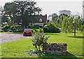

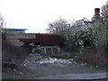
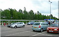
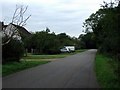
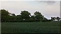
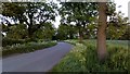
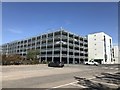
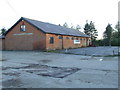
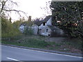
27 photos from this area
Area Information
Key information about the CM22 6PF including its size, population, and administrative classification.
- Area Type
- Postcode
- Area Size
- 1.2 km²
- Population
- 1914
- Population Density
- 158 people/km²
House Prices in CM22 6PF
13
Properties
£615,000
Average Sold Price
£480,000
Lowest Price
£773,000
Highest Price
Showing 13 properties
| Address | Type | Beds | Baths | Last Sale Price | Last Sale Date | |
|---|---|---|---|---|---|---|
| The Grange, Bambers Green Road, Takeley, CM22 6PF | Detached | 4 | - | £592,000 | Nov 2022 | |
| Grange Lodge, Bambers Green Road, Takeley, CM22 6PF | Detached | 6 | - | £773,000 | Nov 2017 | |
| Little Grange, Bambers Green Road, Takeley, CM22 6PF | house | 3 | - | £480,000 | Aug 2017 | |
| Tennis 36M From Le Grenier, Bambers Green 21M From Unnamed Road, Waltham Hall Road, Takeley, CM22 6PF | Leisure | - | - | - | - | |
| Suite 1, Network House, Bambers Green Road, Takeley, CM22 6PF | Office | - | - | - | - | |
| Suite 3, Network House, Bambers Green Road, Takeley, CM22 6PF | Office | - | - | - | - | |
| Unit 3, Waltham Hall, Bambers Green Road, Takeley, CM22 6PF | Industrial | - | - | - | - | |
| Suite 4, Network House, Bambers Green Road, Takeley, CM22 6PF | Office | - | - | - | - | |
| The Stables, Waltham Hall, Bambers Green Road, Takeley, CM22 6PF | office_workshop | - | - | - | - | |
| Chapter House, 3 Bambers Green Road, Takeley, CM22 6PF | house | - | - | - | - |
Page 1 of 2
Energy Efficiency in CM22 6PF
Amenities
Schools
| Rank | School | Type | Entry gender | Ages |
|---|
Explore more schools in this area
Go to Schools tabDemographics
Household Size
Family (3-5 people)
most common
Accommodation Type
Houses
most common
Tenure
66
majority
Ethnic Group
White
most common
Religion
N/A
most common
Household Composition
N/A
most common
Age
47
median
Adults (30-64 years)
most common
Household Deprivation
N/A
with no deprivation
NS-SEC
36
in Lower managerial occupations
Explore more demographic insights in this area
Go to Demographics tabPlanning
Planning Constraints
- Flood RiskPremium
- Ramsar Wetland SitesPremium
- Area of Outstanding Natural BeautyPremium
- Protected Nature ReservePremium
- Protected WoodlandPremium