Area Overview for CM22 6FS
Photos of CM22 6FS
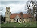
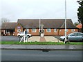
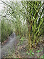
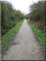
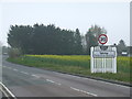
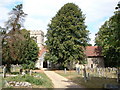
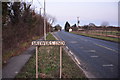

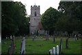
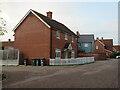
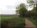
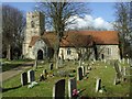
38 photos from this area
Area Information
Key information about the CM22 6FS including its size, population, and administrative classification.
- Area Type
- Postcode
- Area Size
- 1.0 hectares
- Population
- Not available
- Population Density
- Not available
House Prices in CM22 6FS
29
Properties
£436,387
Average Sold Price
£314,950
Lowest Price
£560,000
Highest Price
Showing 29 properties
| Address | Type | Beds | Baths | Last Sale Price | Last Sale Date | |
|---|---|---|---|---|---|---|
| 12 Cooper Smith Road, Takeley, CM22 6FS | Detached | 4 | 2 | £460,000 | Dec 2024 | |
| 13 Cooper Smith Road, Takeley, CM22 6FS | house | - | - | £560,000 | Sep 2021 | |
| 31 Cooper Smith Road, Takeley, CM22 6FS | house | - | - | £344,995 | Jun 2016 | |
| 6 Cooper Smith Road, Takeley, CM22 6FS | house | - | - | £454,995 | Mar 2016 | |
| 24 Cooper Smith Road, Takeley, CM22 6FS | house | 4 | 2 | £345,995 | Dec 2015 | |
| 8 Cooper Smith Road, Takeley, CM22 6FS | house | - | - | £454,995 | Dec 2015 | |
| 9 Cooper Smith Road, Takeley, CM22 6FS | house | - | - | £439,950 | Dec 2015 | |
| 2 Cooper Smith Road, Takeley, CM22 6FS | house | - | - | £527,995 | Dec 2015 | |
| 5 Cooper Smith Road, Takeley, CM22 6FS | house | - | - | £459,995 | Dec 2015 | |
| 17 Cooper Smith Road, Takeley, CM22 6FS | house | - | - | £314,950 | Sep 2015 |
Page 1 of 3
Energy Efficiency in CM22 6FS
Amenities
Schools
| Rank | School | Type | Entry gender | Ages |
|---|
Explore more schools in this area
Go to Schools tabDemographics
Household Size
Family (3-5 people)
most common
Accommodation Type
Houses
most common
Tenure
73
majority
Ethnic Group
White
most common
Religion
N/A
most common
Household Composition
N/A
most common
Age
47
median
Adults (30-64 years)
most common
Household Deprivation
N/A
with no deprivation
NS-SEC
38
in Lower managerial occupations
Explore more demographic insights in this area
Go to Demographics tabPlanning
Planning Constraints
- Flood RiskPremium
- Ramsar Wetland SitesPremium
- Area of Outstanding Natural BeautyPremium
- Protected Nature ReservePremium
- Protected WoodlandPremium