Area Overview for CM20 3BL
Photos of CM20 3BL
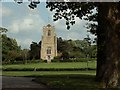
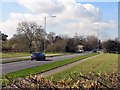
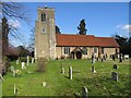
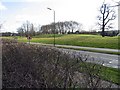

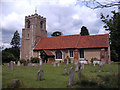
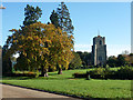
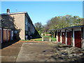
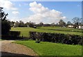

13 photos from this area
Area Information
Key information about the CM20 3BL including its size, population, and administrative classification.
- Area Type
- Postcode
- Area Size
- 1.9 hectares
- Population
- 1409
- Population Density
- 5005 people/km²
House Prices in CM20 3BL
48
Properties
£195,609
Average Sold Price
£65,500
Lowest Price
£320,000
Highest Price
Showing 48 properties
| Address | Type | Beds | Baths | Last Sale Price | Last Sale Date | |
|---|---|---|---|---|---|---|
| 70 Cooks Spinney, Harlow, CM20 3BL | house | - | - | £290,000 | Jan 2025 | |
| 67 Cooks Spinney, Harlow, CM20 3BL | Terraced | 3 | 1 | £320,000 | Jun 2024 | |
| 40 Cooks Spinney, Harlow, CM20 3BL | house | - | - | £270,000 | Apr 2022 | |
| 39 Cooks Spinney, Harlow, CM20 3BL | house | - | - | £260,000 | Oct 2019 | |
| 75 Cooks Spinney, Harlow, CM20 3BL | Terraced | 2 | 1 | £270,000 | May 2019 | |
| 51 Cooks Spinney, Harlow, CM20 3BL | Flat | - | - | £200,000 | Aug 2018 | |
| 78 Cooks Spinney, Harlow, CM20 3BL | house | - | - | £250,000 | Jan 2018 | |
| 35 Cooks Spinney, Harlow, CM20 3BL | house | - | - | £260,000 | Aug 2016 | |
| 79 Cooks Spinney, Harlow, CM20 3BL | Terraced | 3 | 3 | £264,000 | Aug 2016 | |
| 69 Cooks Spinney, Harlow, CM20 3BL | Terraced | 2 | 1 | £230,000 | May 2015 |
Page 1 of 5
Energy Efficiency in CM20 3BL
Amenities
Schools
| Rank | School | Type | Entry gender | Ages |
|---|
Explore more schools in this area
Go to Schools tabDemographics
Household Size
Family (3-5 people)
most common
Accommodation Type
Houses
most common
Tenure
55
majority
Ethnic Group
White
most common
Religion
N/A
most common
Household Composition
N/A
most common
Age
47
median
Adults (30-64 years)
most common
Household Deprivation
N/A
with no deprivation
NS-SEC
25
in Lower managerial occupations
Explore more demographic insights in this area
Go to Demographics tabPlanning
Planning Constraints
- Flood RiskPremium
- Ramsar Wetland SitesPremium
- Area of Outstanding Natural BeautyPremium
- Protected Nature ReservePremium
- Protected WoodlandPremium