Area Overview for CM2 0ES
Photos of CM2 0ES
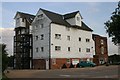
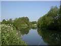
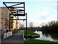
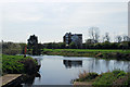
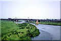
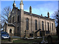
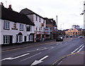

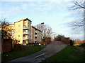

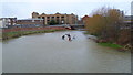
91 photos from this area
Area Information
Key information about the CM2 0ES including its size, population, and administrative classification.
- Area Type
- Postcode
- Area Size
- 5690 m²
- Population
- 1801
- Population Density
- 9390 people/km²
House Prices in CM2 0ES
21
Properties
£235,064
Average Sold Price
£40,000
Lowest Price
£446,000
Highest Price
Showing 21 properties
| Address | Type | Beds | Baths | Last Sale Price | Last Sale Date | |
|---|---|---|---|---|---|---|
| 8 Parker Road, Chelmsford, CM2 0ES | house | - | - | £300,000 | Oct 2023 | |
| 11 Parker Road, Chelmsford, CM2 0ES | Terraced | 2 | 1 | £375,000 | Jul 2023 | |
| 5 Parker Road, Chelmsford, CM2 0ES | Terraced | 4 | 2 | £446,000 | Nov 2022 | |
| 18 Parker Road, Chelmsford, CM2 0ES | Terraced | 3 | 1 | £314,000 | Aug 2019 | |
| 7 Parker Road, Chelmsford, CM2 0ES | Terraced | 2 | 1 | £310,000 | May 2018 | |
| 6 Parker Road, Chelmsford, CM2 0ES | house | 2 | - | £175,700 | Dec 2011 | |
| 1 Parker Road, Chelmsford, CM2 0ES | Maisonette | 2 | 1 | £165,000 | Sep 2011 | |
| 3 Parker Road, Chelmsford, CM2 0ES | Terraced | - | - | £230,000 | Jan 2008 | |
| 19 Parker Road, Chelmsford, CM2 0ES | Terraced | 3 | - | £185,000 | Nov 2006 | |
| 4 Parker Road, Chelmsford, CM2 0ES | house | - | - | £45,000 | Oct 2002 |
Page 1 of 3
Energy Efficiency in CM2 0ES
Amenities
Schools
| Rank | School | Type | Entry gender | Ages |
|---|
Explore more schools in this area
Go to Schools tabDemographics
Household Size
Family (3-5 people)
most common
Accommodation Type
Houses
most common
Tenure
72
majority
Ethnic Group
White
most common
Religion
N/A
most common
Household Composition
N/A
most common
Age
47
median
Adults (30-64 years)
most common
Household Deprivation
N/A
with no deprivation
NS-SEC
46
in Lower managerial occupations
Explore more demographic insights in this area
Go to Demographics tabPlanning
Planning Constraints
- Flood RiskPremium
- Ramsar Wetland SitesPremium
- Area of Outstanding Natural BeautyPremium
- Protected Nature ReservePremium
- Protected WoodlandPremium