Area Overview for CM18 7QJ
Photos of CM18 7QJ
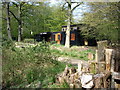
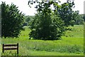
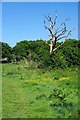
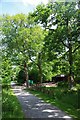
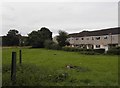
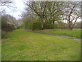
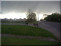
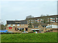
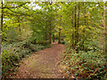
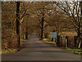
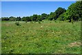
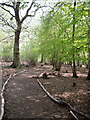
14 photos from this area
Area Information
Key information about the CM18 7QJ including its size, population, and administrative classification.
- Area Type
- Postcode
- Area Size
- 9022 m²
- Population
- Not available
- Population Density
- Not available
House Prices in CM18 7QJ
31
Properties
£176,055
Average Sold Price
£48,000
Lowest Price
£325,000
Highest Price
Showing 31 properties
| Address | Type | Beds | Baths | Last Sale Price | Last Sale Date | |
|---|---|---|---|---|---|---|
| 195 Moorfield, Harlow, CM18 7QJ | Terraced | 3 | 1 | £325,000 | Apr 2025 | |
| 192 Moorfield, Harlow, CM18 7QJ | Terraced | 3 | 1 | £290,000 | Mar 2024 | |
| 176 Moorfield, Harlow, CM18 7QJ | Terraced | 3 | 1 | £265,000 | Jul 2020 | |
| 194 Moorfield, Harlow, CM18 7QJ | house | - | - | £230,000 | May 2019 | |
| 183 Moorfield, Harlow, CM18 7QJ | Terraced | 3 | - | £236,000 | Mar 2019 | |
| 190 Moorfield, Harlow, CM18 7QJ | Terraced | 3 | 1 | £237,500 | Feb 2019 | |
| 172 Moorfield, Harlow, CM18 7QJ | Terraced | 3 | 1 | £235,000 | May 2018 | |
| 191 Moorfield, Harlow, CM18 7QJ | house | - | - | £268,000 | Sep 2017 | |
| 182 Moorfield, Harlow, CM18 7QJ | house | - | - | £190,500 | Jul 2014 | |
| 174 Moorfield, Harlow, CM18 7QJ | house | - | - | £155,000 | Jun 2007 |
Page 1 of 4
Energy Efficiency in CM18 7QJ
Amenities
Schools
| Rank | School | Type | Entry gender | Ages |
|---|
Explore more schools in this area
Go to Schools tabDemographics
Household Size
Family (3-5 people)
most common
Accommodation Type
Houses
most common
Tenure
49
majority
Ethnic Group
White
most common
Religion
N/A
most common
Household Composition
N/A
most common
Age
47
median
Adults (30-64 years)
most common
Household Deprivation
N/A
with no deprivation
NS-SEC
22
in Lower managerial occupations
Explore more demographic insights in this area
Go to Demographics tabPlanning
Planning Constraints
- Flood RiskPremium
- Ramsar Wetland SitesPremium
- Area of Outstanding Natural BeautyPremium
- Protected Nature ReservePremium
- Protected WoodlandPremium