Area Overview for CM18 6JU
Photos of CM18 6JU
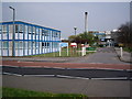
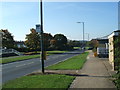
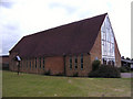
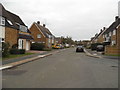
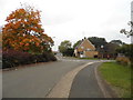
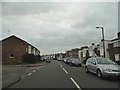
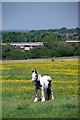
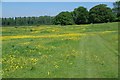
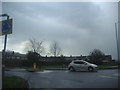
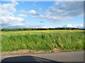
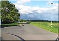
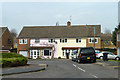
15 photos from this area
Area Information
Key information about the CM18 6JU including its size, population, and administrative classification.
- Area Type
- Postcode
- Area Size
- 9.3 hectares
- Population
- 1433
- Population Density
- 3719 people/km²
House Prices in CM18 6JU
34
Properties
£193,939
Average Sold Price
£130,000
Lowest Price
£300,000
Highest Price
Showing 34 properties
| Address | Type | Beds | Baths | Last Sale Price | Last Sale Date | |
|---|---|---|---|---|---|---|
| 66 Spencers Croft, Harlow, CM18 6JU | house | - | - | £300,000 | Mar 2021 | |
| 67 Spencers Croft, Harlow, CM18 6JU | house | - | - | £280,500 | Mar 2021 | |
| 55 Spencers Croft, Harlow, CM18 6JU | Terraced | 3 | 1 | £230,000 | Aug 2015 | |
| 65 Spencers Croft, Harlow, CM18 6JU | house | - | - | £195,000 | Mar 2015 | |
| 52 Spencers Croft, Harlow, CM18 6JU | Terraced | 3 | 1 | £146,000 | Jun 2013 | |
| 71 Spencers Croft, Harlow, CM18 6JU | house | 2 | - | £144,000 | Nov 2009 | |
| 53 Spencers Croft, Harlow, CM18 6JU | house | - | - | £153,950 | Jun 2007 | |
| 47 Spencers Croft, Harlow, CM18 6JU | Terraced | 3 | 1 | £166,000 | Sep 2006 | |
| 60 Spencers Croft, Harlow, CM18 6JU | house | - | - | £130,000 | Dec 2004 | |
| Flat Block 75-76, Spencers Croft, Harlow, CM18 6JU | Flat | - | - | - | - |
Page 1 of 4
Energy Efficiency in CM18 6JU
Amenities
Schools
| Rank | School | Type | Entry gender | Ages |
|---|
Explore more schools in this area
Go to Schools tabDemographics
Household Size
One person
most common
Accommodation Type
Houses
most common
Tenure
42
majority
Ethnic Group
White
most common
Religion
N/A
most common
Household Composition
N/A
most common
Age
47
median
Adults (30-64 years)
most common
Household Deprivation
N/A
with no deprivation
NS-SEC
22
in Lower managerial occupations
Explore more demographic insights in this area
Go to Demographics tabPlanning
Planning Constraints
- Flood RiskPremium
- Ramsar Wetland SitesPremium
- Area of Outstanding Natural BeautyPremium
- Protected Nature ReservePremium
- Protected WoodlandPremium