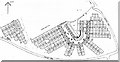
Area Overview for CM18 6DA
Photos of CM18 6DA
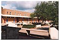
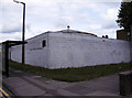
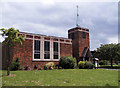
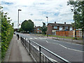
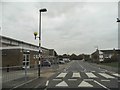
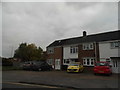

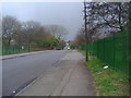
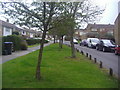
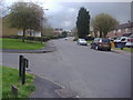
12 photos from this area
Area Information
Key information about the CM18 6DA including its size, population, and administrative classification.
- Area Type
- Postcode
- Area Size
- 1.2 hectares
- Population
- Not available
- Population Density
- Not available
House Prices in CM18 6DA
26
Properties
£278,592
Average Sold Price
£100,000
Lowest Price
£347,500
Highest Price
Showing 26 properties
| Address | Type | Beds | Baths | Last Sale Price | Last Sale Date | |
|---|---|---|---|---|---|---|
| 46 Church Leys, Harlow, CM18 6DA | Retail | 2 | 1 | £340,200 | Sep 2022 | |
| 42 Church Leys, Harlow, CM18 6DA | Terraced | 2 | - | £347,500 | Sep 2022 | |
| 53 Church Leys, Harlow, CM18 6DA | Detached | 2 | 1 | £340,500 | Aug 2022 | |
| 44 Church Leys, Harlow, CM18 6DA | house | - | - | £325,000 | Feb 2022 | |
| 58 Church Leys, Harlow, CM18 6DA | Terraced | 3 | - | £305,000 | Apr 2021 | |
| 181 Church Leys, Harlow, CM18 6DA | Semi-detached | 4 | 1 | £337,000 | Apr 2019 | |
| 60 Church Leys, Harlow, CM18 6DA | Semi-detached | 3 | 1 | £289,500 | Apr 2019 | |
| 59 Church Leys, Harlow, CM18 6DA | Semi-detached | 3 | 1 | £320,000 | Dec 2018 | |
| 47 Church Leys, Harlow, CM18 6DA | Terraced | 2 | 2 | £275,000 | Nov 2018 | |
| 51 Church Leys, Harlow, CM18 6DA | Terraced | 2 | - | £279,995 | Jul 2018 |
Page 1 of 3
Energy Efficiency in CM18 6DA
Amenities
Schools
| Rank | School | Type | Entry gender | Ages |
|---|
Explore more schools in this area
Go to Schools tabDemographics
Household Size
Family (3-5 people)
most common
Accommodation Type
Houses
most common
Tenure
58
majority
Ethnic Group
White
most common
Religion
N/A
most common
Household Composition
N/A
most common
Age
47
median
Adults (30-64 years)
most common
Household Deprivation
N/A
with no deprivation
NS-SEC
23
in Lower managerial occupations
Explore more demographic insights in this area
Go to Demographics tabPlanning
Planning Constraints
- Flood RiskPremium
- Ramsar Wetland SitesPremium
- Area of Outstanding Natural BeautyPremium
- Protected Nature ReservePremium
- Protected WoodlandPremium