Area Overview for CM18 6AE
Photos of CM18 6AE
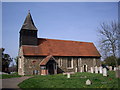
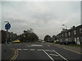
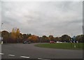
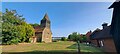
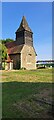
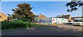
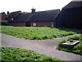
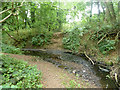
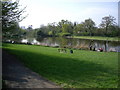
10 photos from this area
Area Information
Key information about the CM18 6AE including its size, population, and administrative classification.
- Area Type
- Postcode
- Area Size
- 1.2 hectares
- Population
- Not available
- Population Density
- Not available
House Prices in CM18 6AE
35
Properties
£293,567
Average Sold Price
£152,500
Lowest Price
£425,000
Highest Price
Showing 35 properties
| Address | Type | Beds | Baths | Last Sale Price | Last Sale Date | |
|---|---|---|---|---|---|---|
| 75 Westfield, Harlow, CM18 6AE | Terraced | 3 | 1 | £355,000 | Aug 2025 | |
| 44 Westfield, Harlow, CM18 6AE | Terraced | 3 | 3 | £400,000 | Feb 2024 | |
| 52 Westfield, Harlow, CM18 6AE | Detached | 3 | 1 | £370,000 | Jul 2023 | |
| 59 Westfield, Harlow, CM18 6AE | Detached | 2 | - | £377,000 | Feb 2023 | |
| 77 Westfield, Harlow, CM18 6AE | Retail | 3 | 1 | £355,000 | Sep 2022 | |
| 58 Westfield, Harlow, CM18 6AE | house | - | - | £380,000 | Apr 2021 | |
| 42 Westfield, Harlow, CM18 6AE | house | - | - | £425,000 | Apr 2021 | |
| 45 Westfield, Harlow, CM18 6AE | Terraced | 2 | 1 | £265,000 | Jan 2018 | |
| 57 Westfield, Harlow, CM18 6AE | Terraced | 3 | - | £274,000 | Dec 2017 | |
| 74 Westfield, Harlow, CM18 6AE | house | - | - | £295,000 | May 2017 |
Page 1 of 4
Energy Efficiency in CM18 6AE
Amenities
Schools
| Rank | School | Type | Entry gender | Ages |
|---|
Explore more schools in this area
Go to Schools tabDemographics
Household Size
Family (3-5 people)
most common
Accommodation Type
Houses
most common
Tenure
57
majority
Ethnic Group
White
most common
Religion
N/A
most common
Household Composition
N/A
most common
Age
47
median
Adults (30-64 years)
most common
Household Deprivation
N/A
with no deprivation
NS-SEC
24
in Lower managerial occupations
Explore more demographic insights in this area
Go to Demographics tabPlanning
Planning Constraints
- Flood RiskPremium
- Ramsar Wetland SitesPremium
- Area of Outstanding Natural BeautyPremium
- Protected Nature ReservePremium
- Protected WoodlandPremium